Main » Resorts » Koh Phangan » Sights of Koh Phangan

Sights of Koh Phangan

7.9 km. from the ferry pier
Coordinates: 9.777080471291, 100.01016199677919

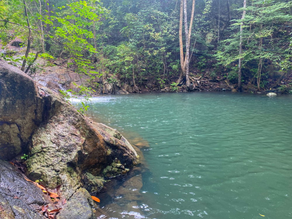
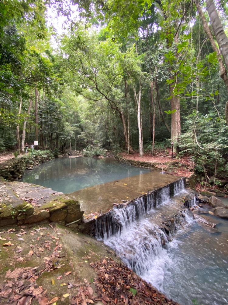
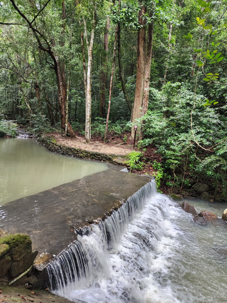
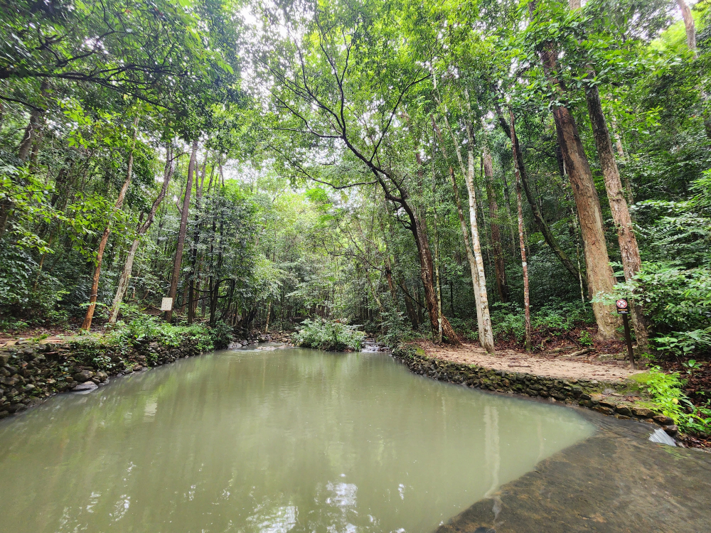
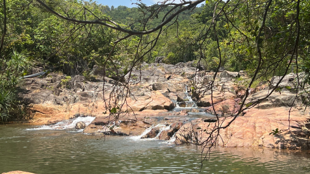
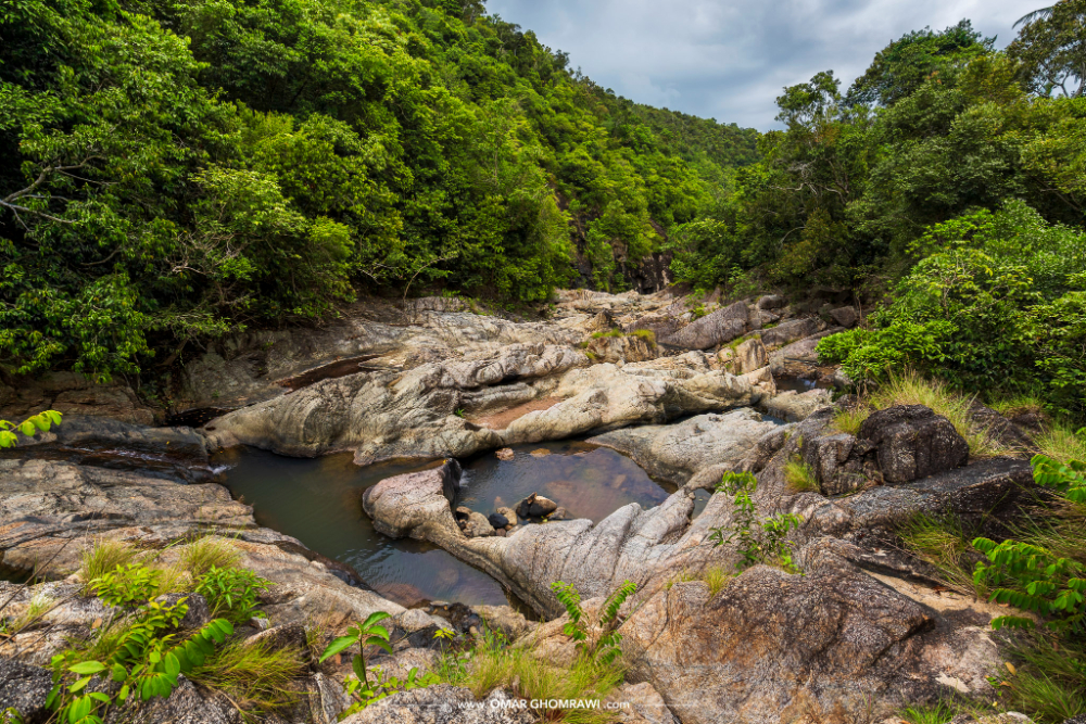
Located in the north, the best way to get there is from the settlement of Chakoklum (about 2 kilometers). It is considered the most popular among tourists. Nearby there is a cafe and built a couple of bungalows. The flowing water forms small lakes-fonts, in which it is pleasant to plunge (the water is cool). The feature of the location is a bungee, on which, with due care, you can ride and jump into the water.
4.3 km. from the ferry pier
Coordinates: 9.734939253129195, 100.01441464293312

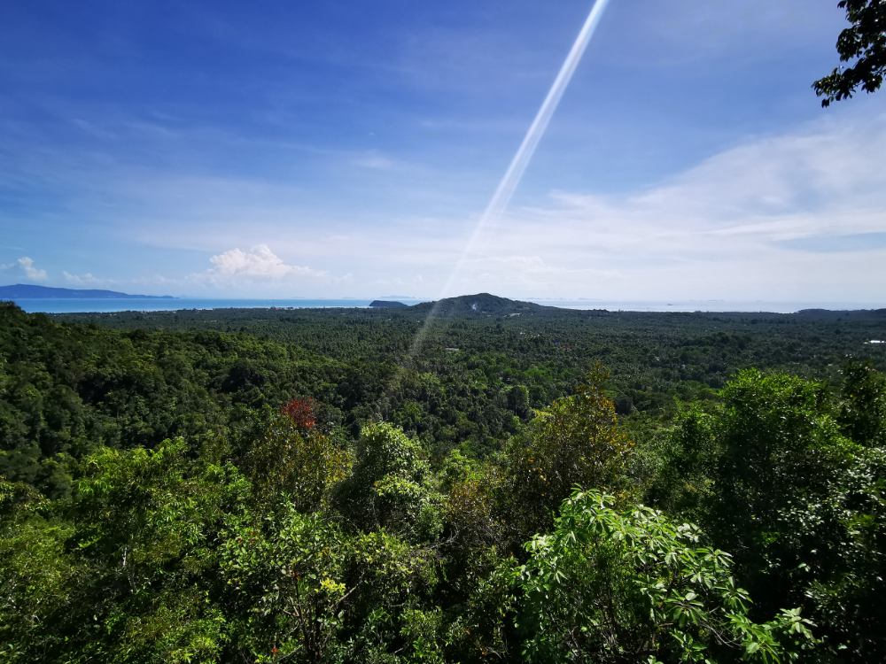
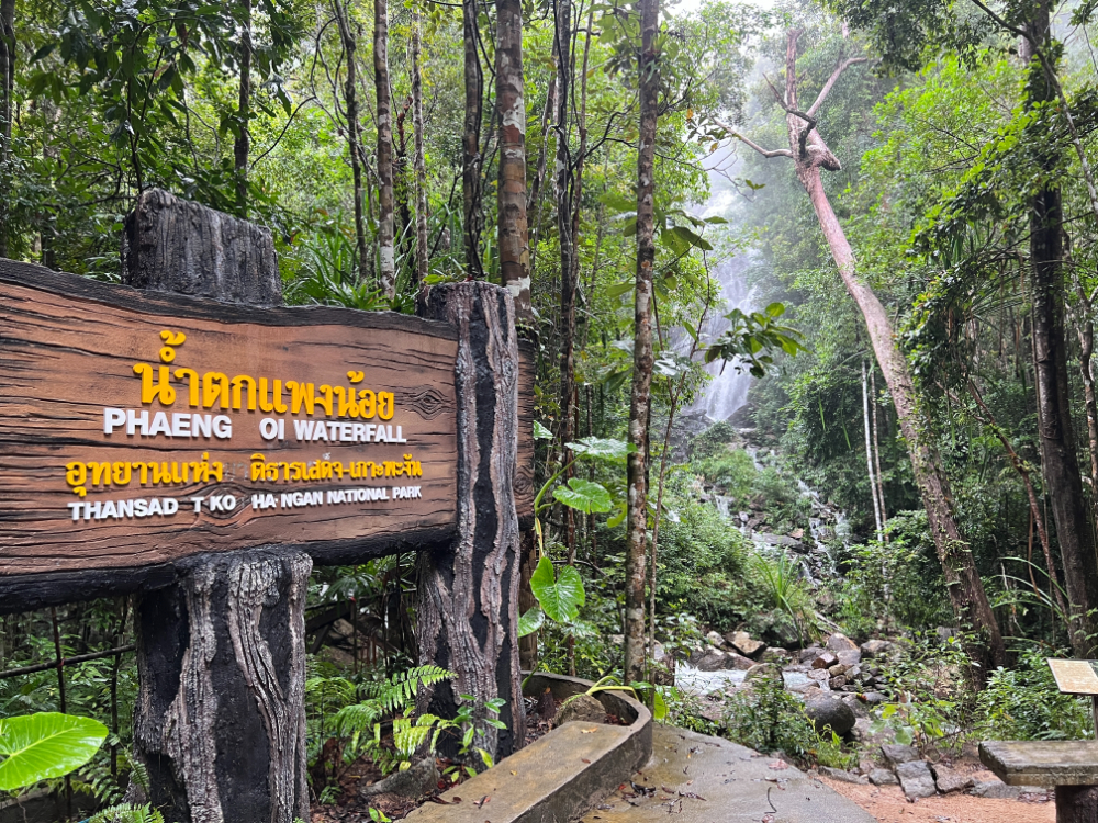
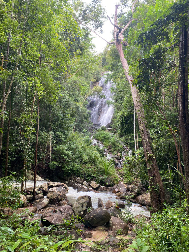
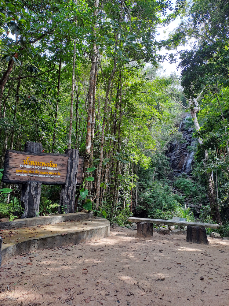
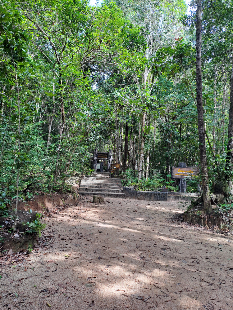
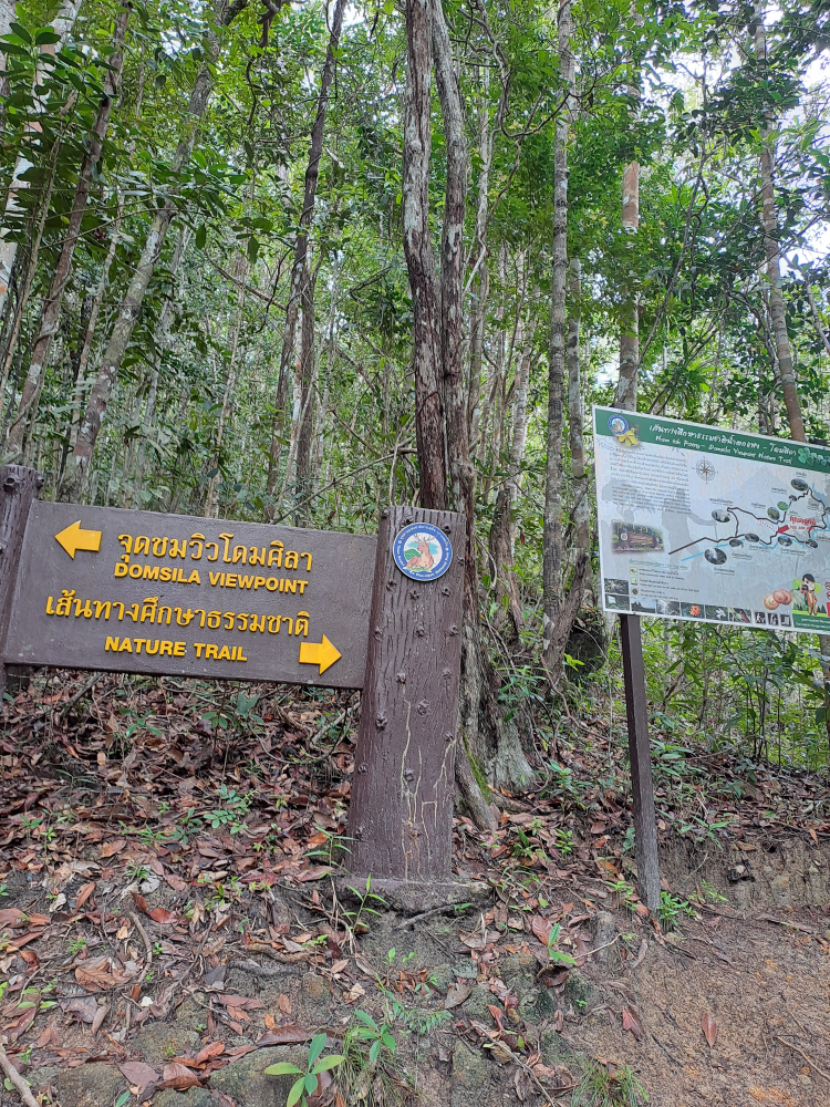
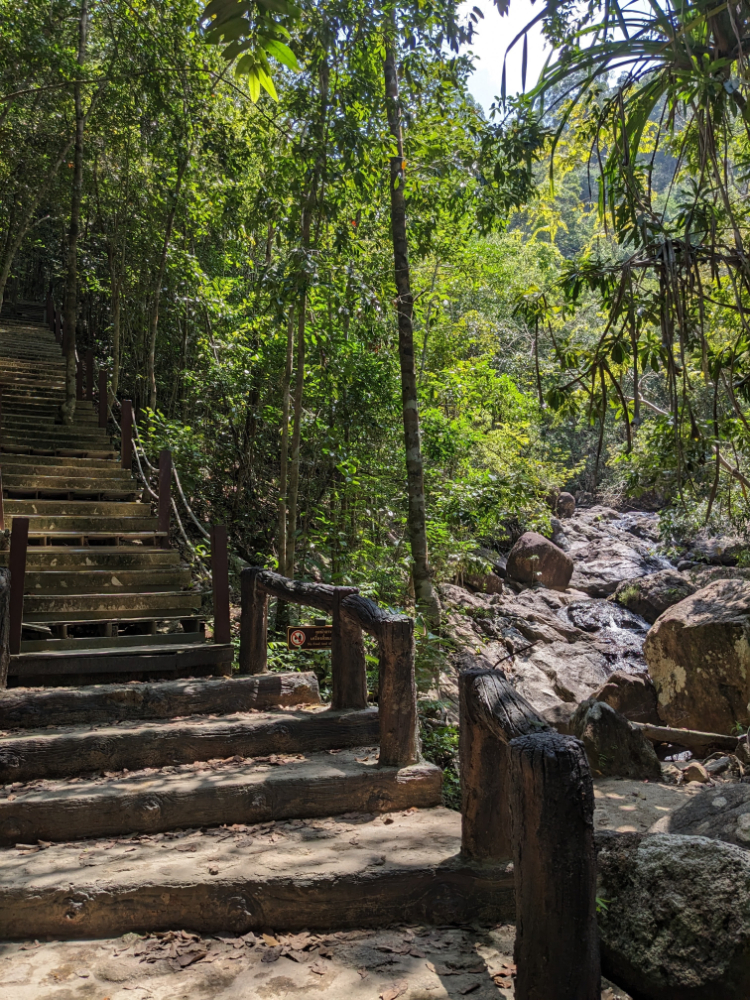
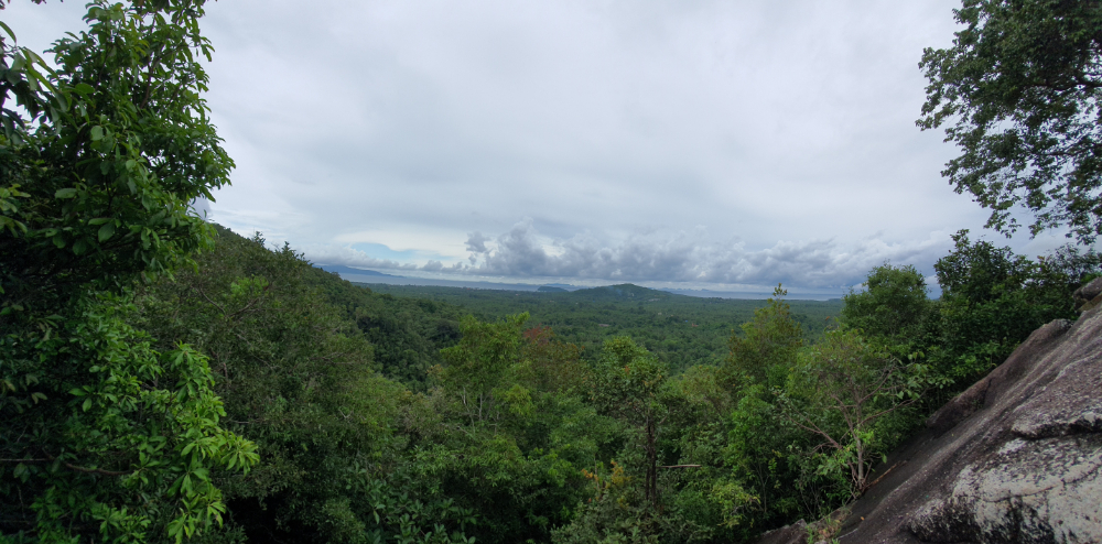
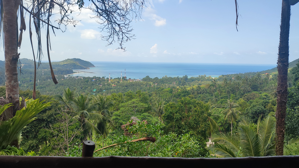
This is already the territory of the natural park. Near all the necessary infrastructure - there is parking, signs, places to relax. After the waterfalls, you can climb to the observation deck of the House of Sila - you need a little patience and suitable shoes.

10.7 km. from the ferry pier
Coordinates: 9.750250151185009, 100.07195606031289

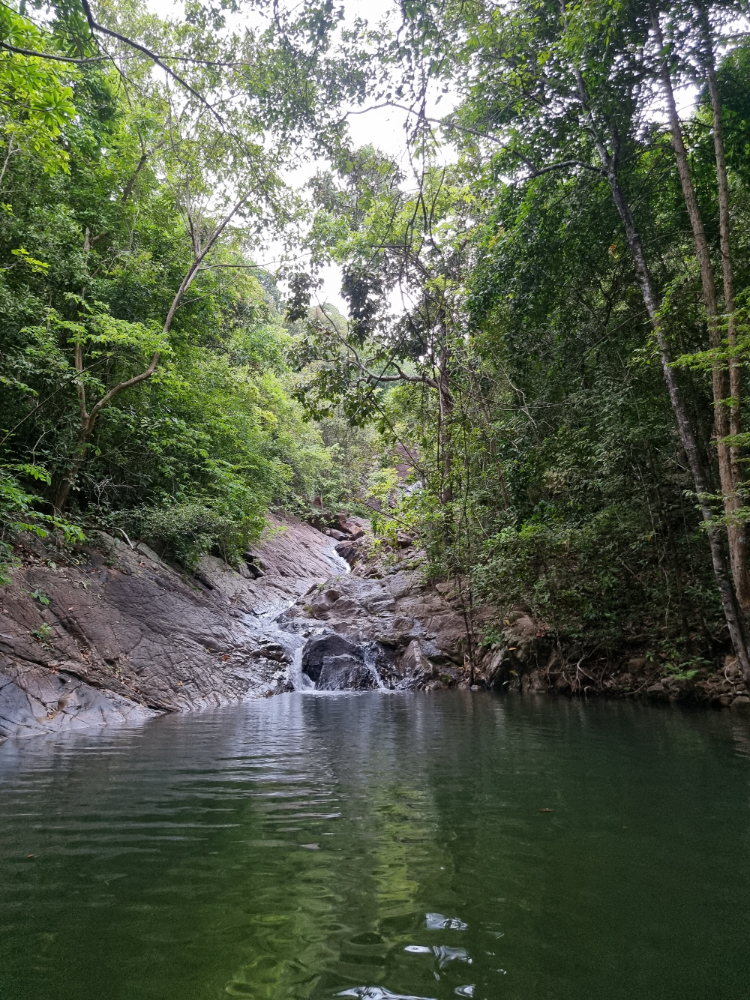
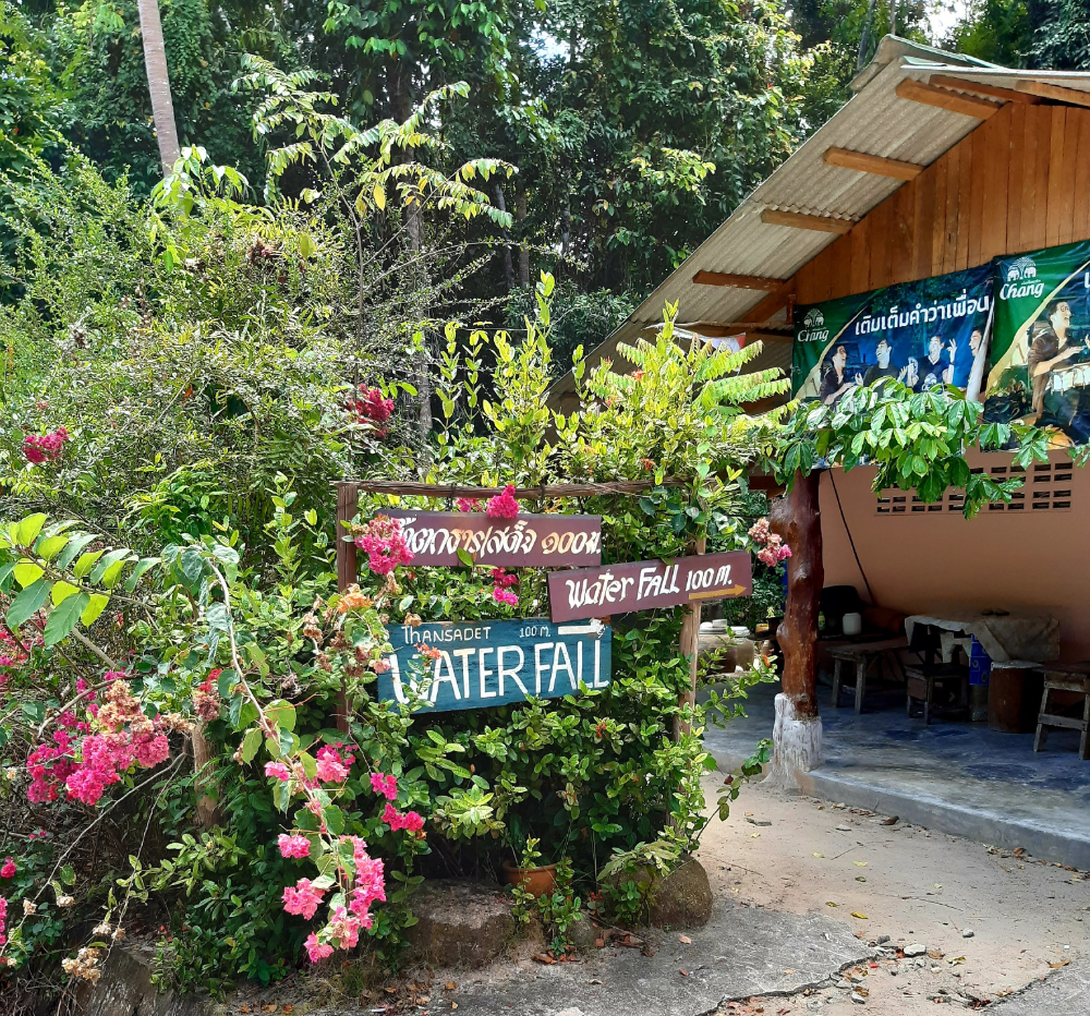
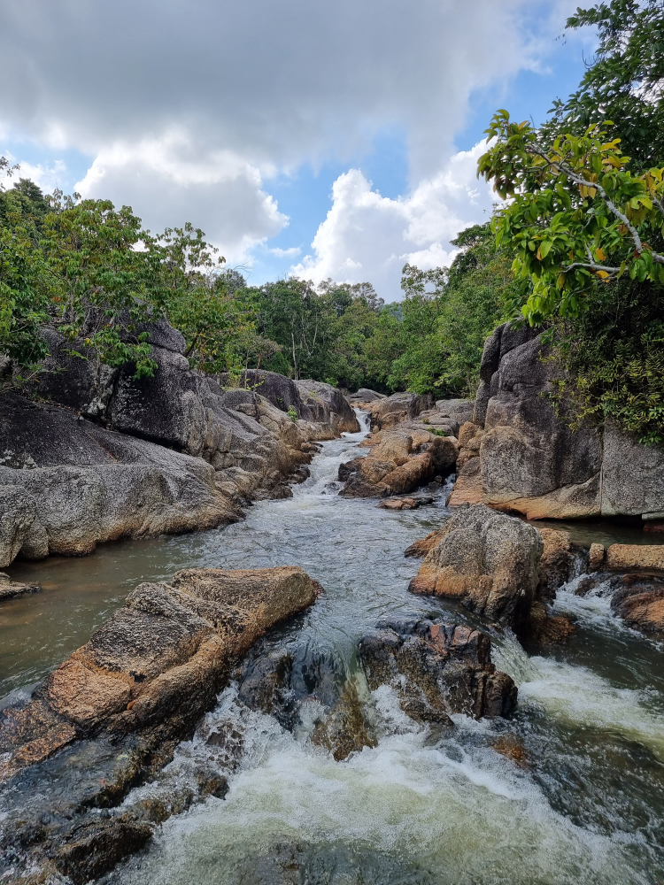
Than Sadet is several kilometers long. It also has natural lagoons where you can swim. It consists of several waterfalls, each of which has its own name. It is believed that this is the favorite waterfall of the dynasty of kings of Thailand. The waterfall is next to the beach of the same name, so you can visit along the way.

10.3 km. from the ferry pier
Coordinates: 9.731990990360186, 100.07453059677884

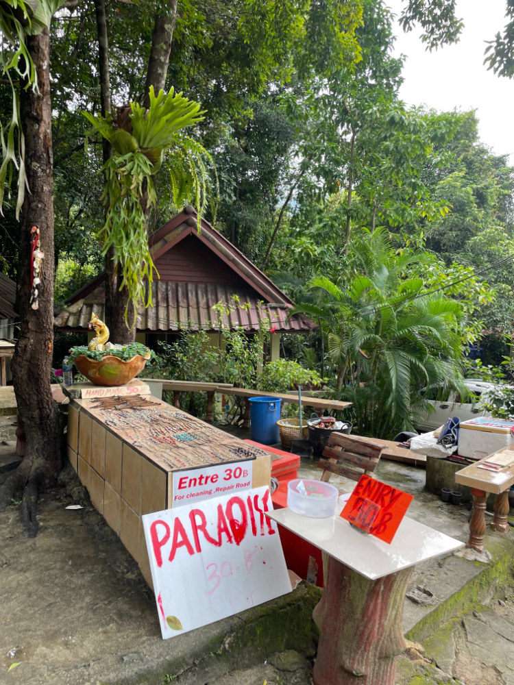
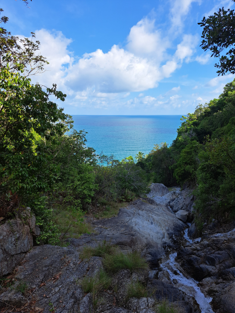
Another name for it is Lost Paradise, Paradise Lost. Hard-to-reach and deserted, next to it is an abandoned construction site, where it was planned to build an airport and a wild abandoned beach of Haad Nam Tak.

Lovers of pristine wildlife and deserted places can be recommended to visit.

8.8 km. from the ferry pier
Coordinates: 9.790501717722453, 99.98384341027094

Wang Sai is the second most visited waterfall, it is practically next to Mae Haad beach (you can easily walk). An amusement park and cafes are nearby. According to reviews, in the dry season it almost dries up.

Phuket attractions map