Main » Resorts » Ко Ланта » Достопримечательности Ко Ланты

Достопримечательности Ко Ланты

21 km. from the ferry pier
Address: Mu Ko Lanta National Park, Moo 5, Tambon Ko Lanta Yai, Amphoe Ko Lanta, Krabi, 81150, Таиланд
Coordinates: 7.470399954770245, 99.0992425832679
Prices: 250 THB

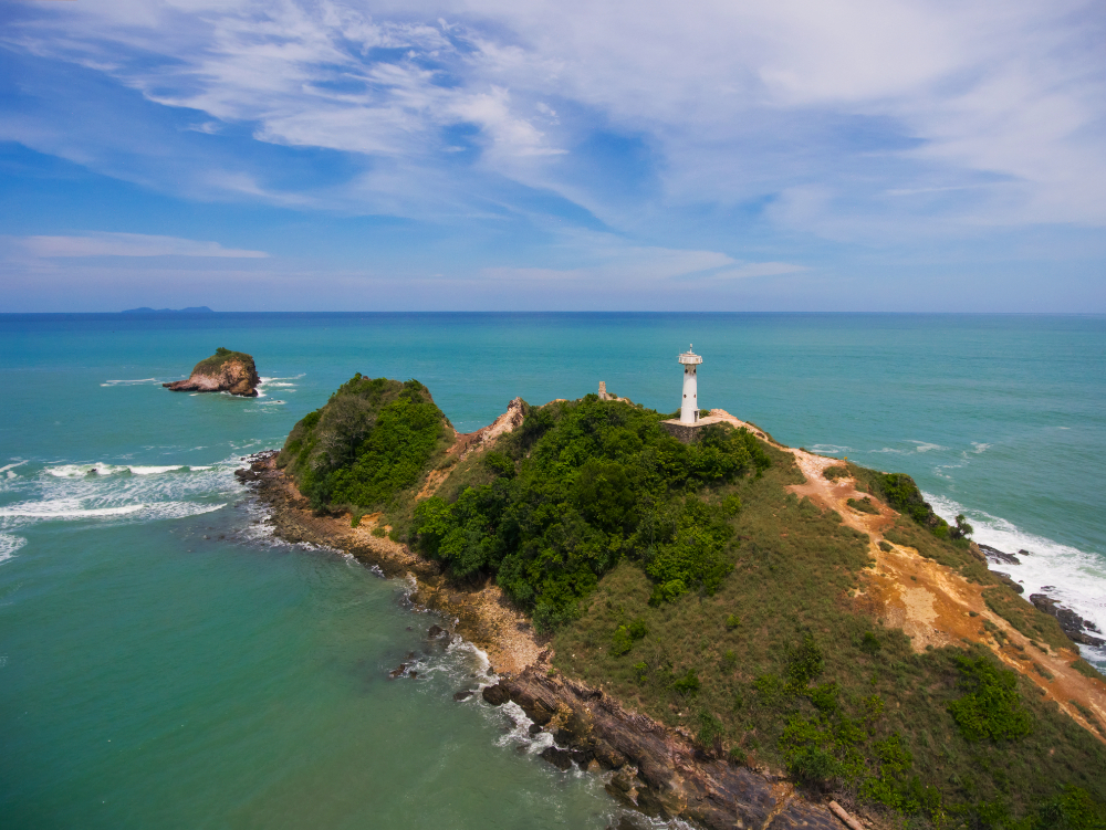
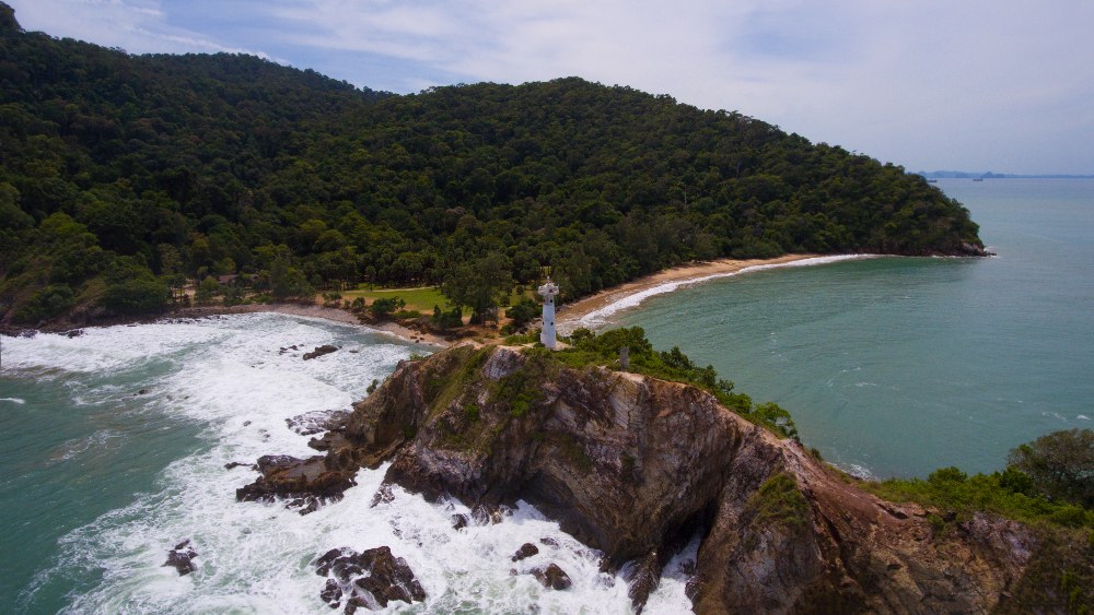
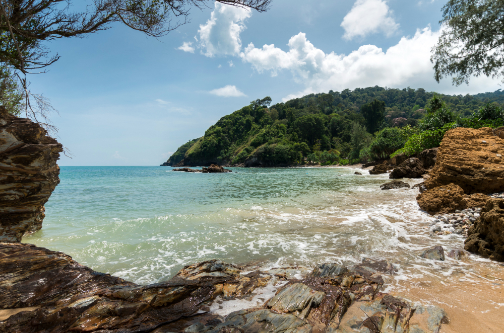
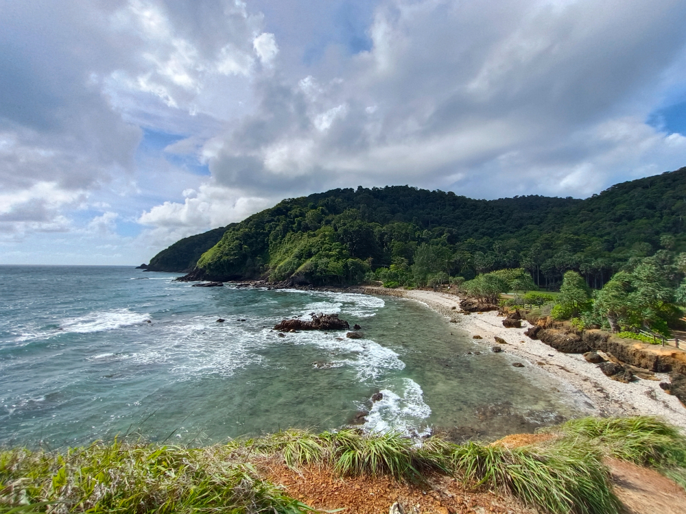
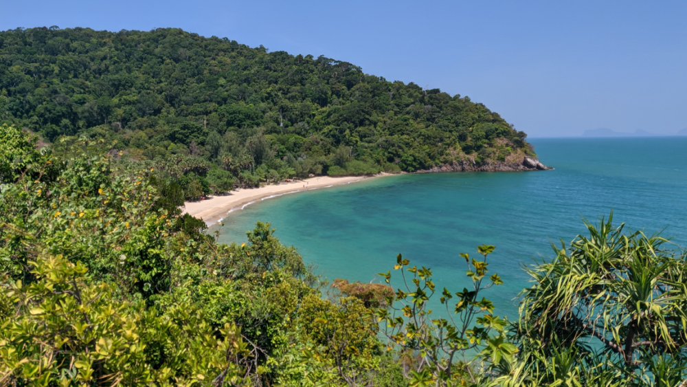
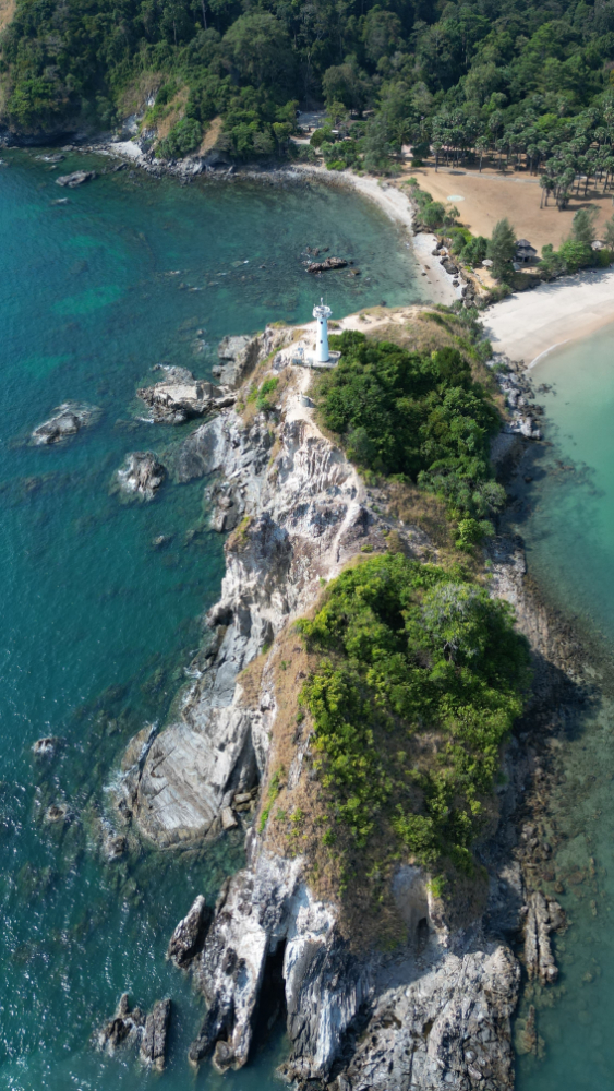
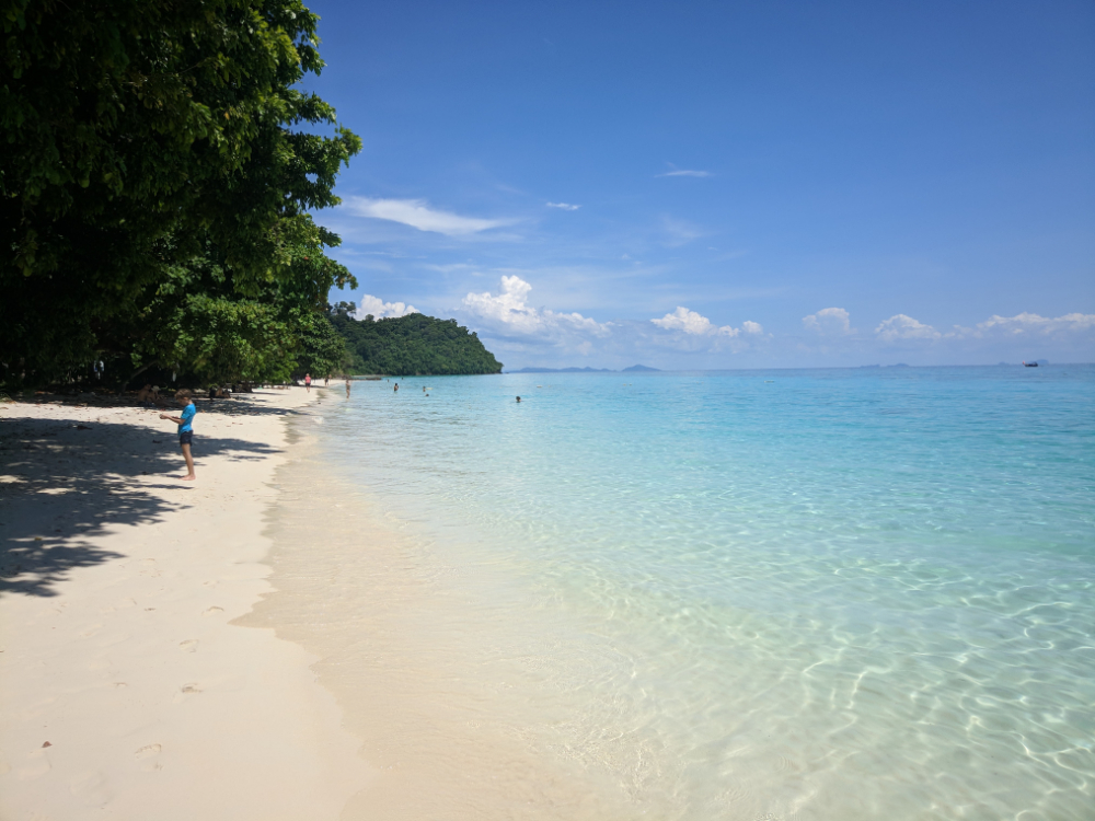
It is located in the southern part of the island. It is a number of protected beaches that were later merged into a park complex. It also includes trekking trails and a local lighthouse. 

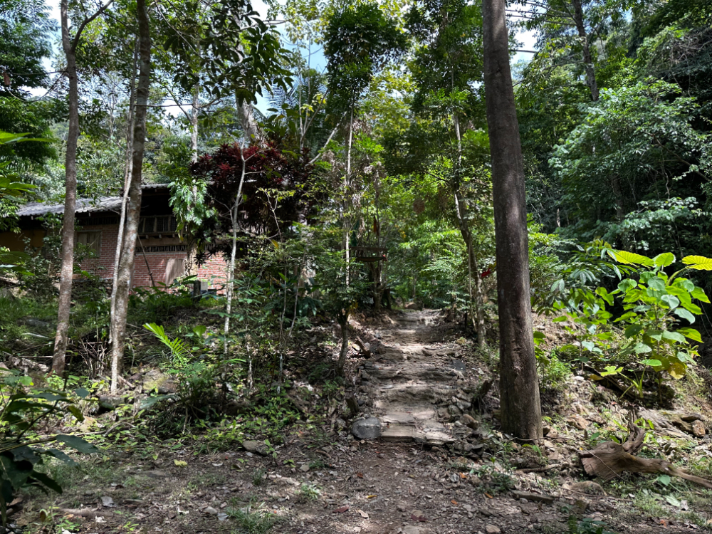
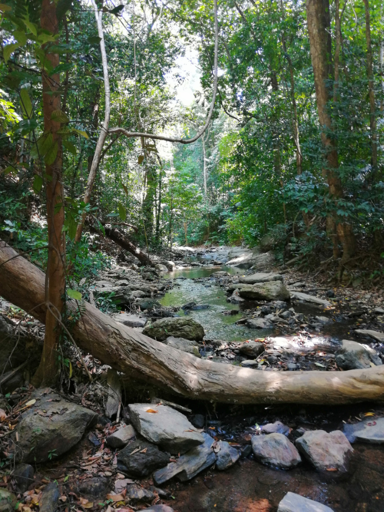
In the park, it is worthwhile to take a walk along these trails. The walk will turn out to be very interesting and exciting. You will have a feeling that you are in the jungle, but it is almost impossible to get lost here. The length of the path is about two kilometers.

21 km. from the ferry pier
Address: Ko Lanta Yai, Ko Lanta District, Krabi, Таиланд
Coordinates: 7.468261554611512, 99.09812066682372

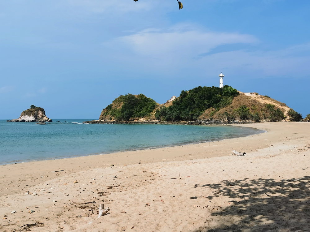
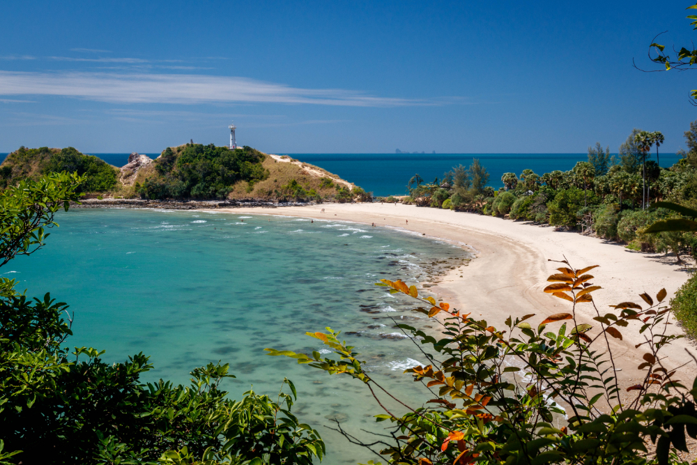
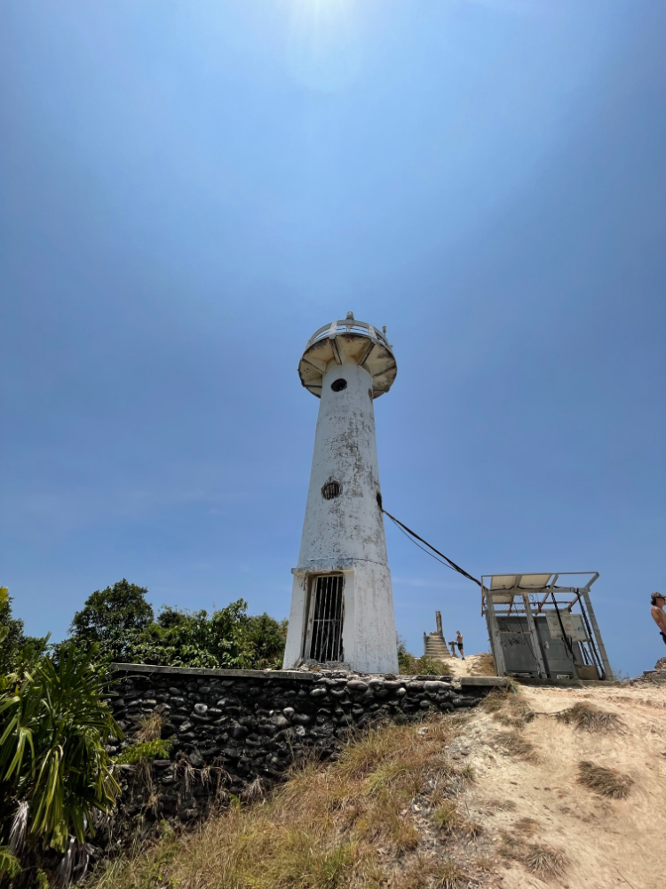
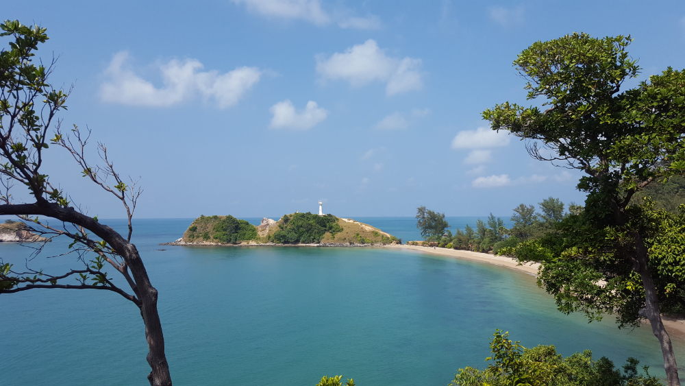
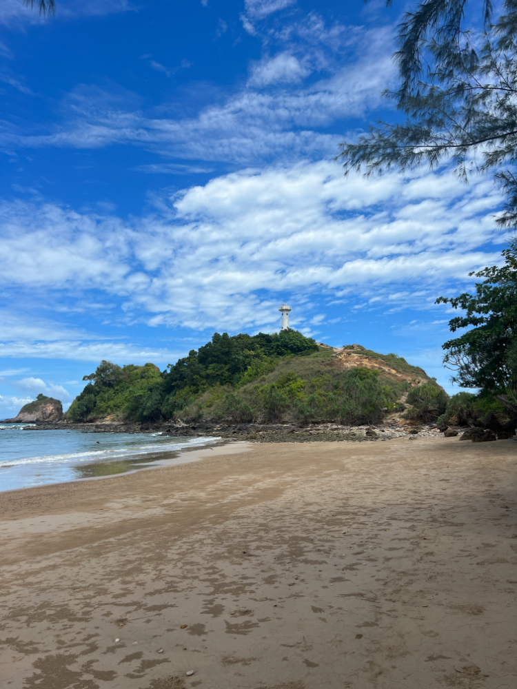
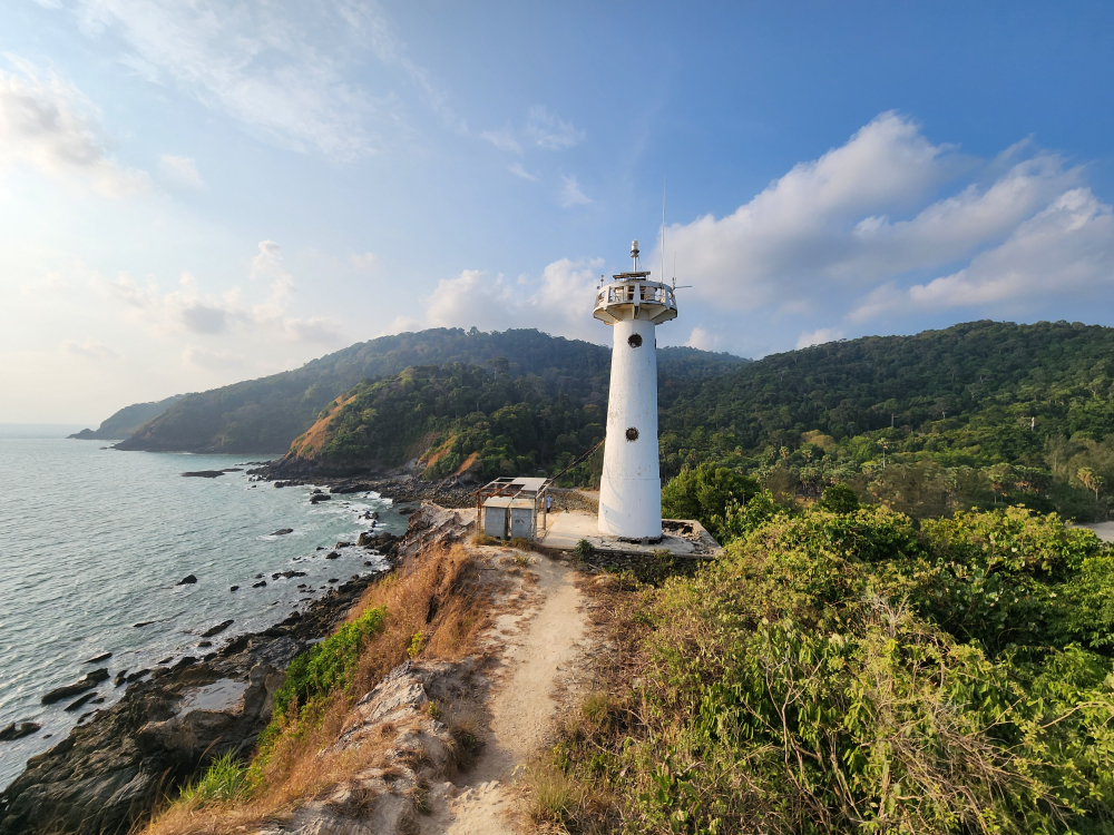
The lighthouse itself is small. There are no crowds of tourists near it, so you will be able to see it in peace. Unfortunately, there is no way to get inside. The doors are always closed and no one is allowed in. Visitors are left only to admire the picturesque scenery nearby. 

It is also possible to take beautiful photos here. The views from the top of the mountain are stunning. If you bought an entrance ticket to the park, you can safely climb up to the lighthouse. At the edge of the cliff, you need to be extremely careful.

15 km. from the ferry pier
Address: Ko Lanta Yai, Ko Lanta District, Krabi 81150, Таиланд
Coordinates: 7.5314019273225306, 99.09430818418583

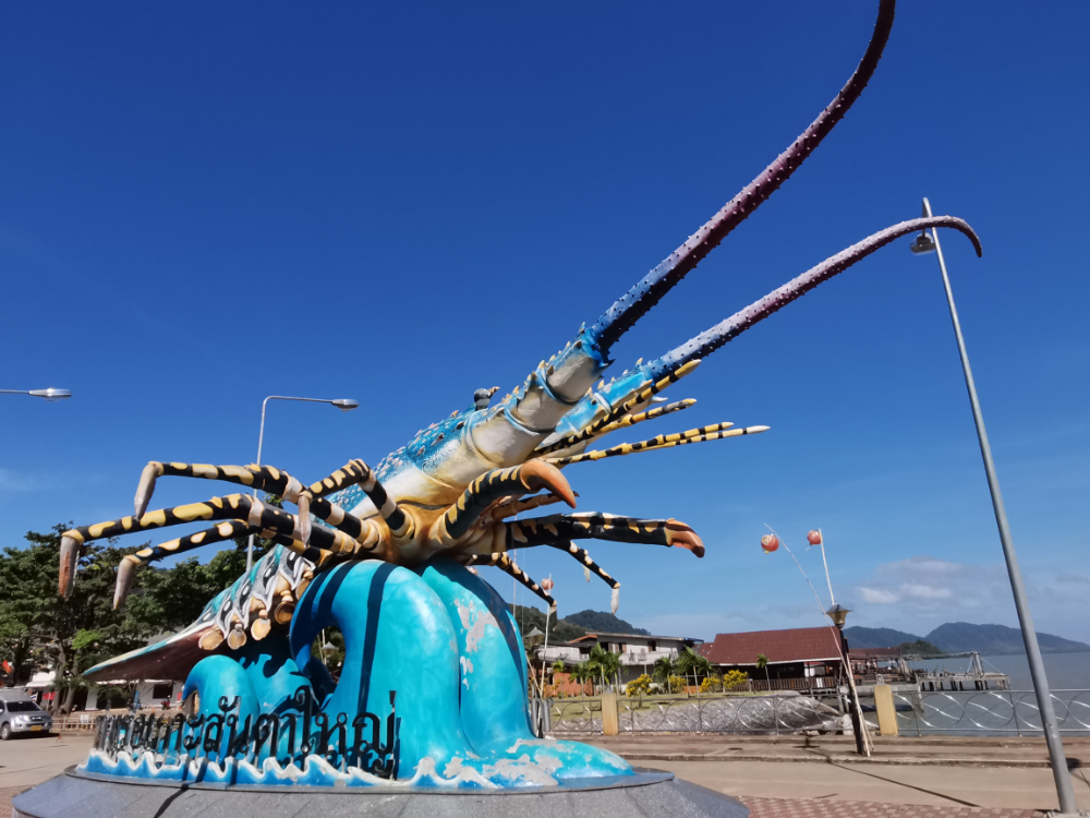
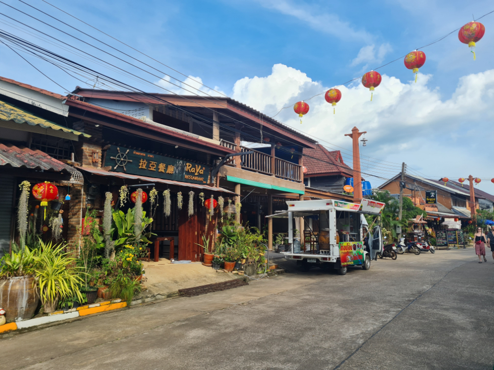
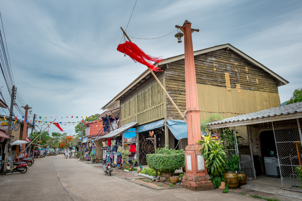
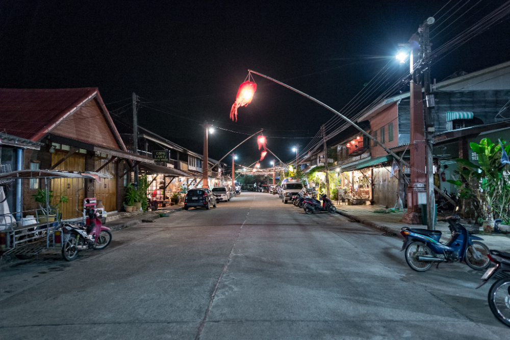
The town is pretty much no different from any other settlement in the south of Thailand. There are mostly stores, rentals and travel agencies open here. There is a harbor that has long been occupied by local fishermen and their families.

Old Town used to be the capital of the island. After the construction of a bridge from the mainland, everything changed. Most of the tourists and residents moved there, so the place became empty. If you like peace and quiet, you will definitely like it here. Take a walk along the small streets, have lunch in a cafe and be sure to check out the local museum.

50 km. from the ferry pier
Address: Ko Libong, Kantang District, Trang 92110, Таиланд
Coordinates: 7.22279470985435, 99.0747217748529

The island of Ko Lanta is full of travel agencies. In one of them you can easily buy an excursion to an islet called Ko Rock. As a rule, the trip takes a whole day. 

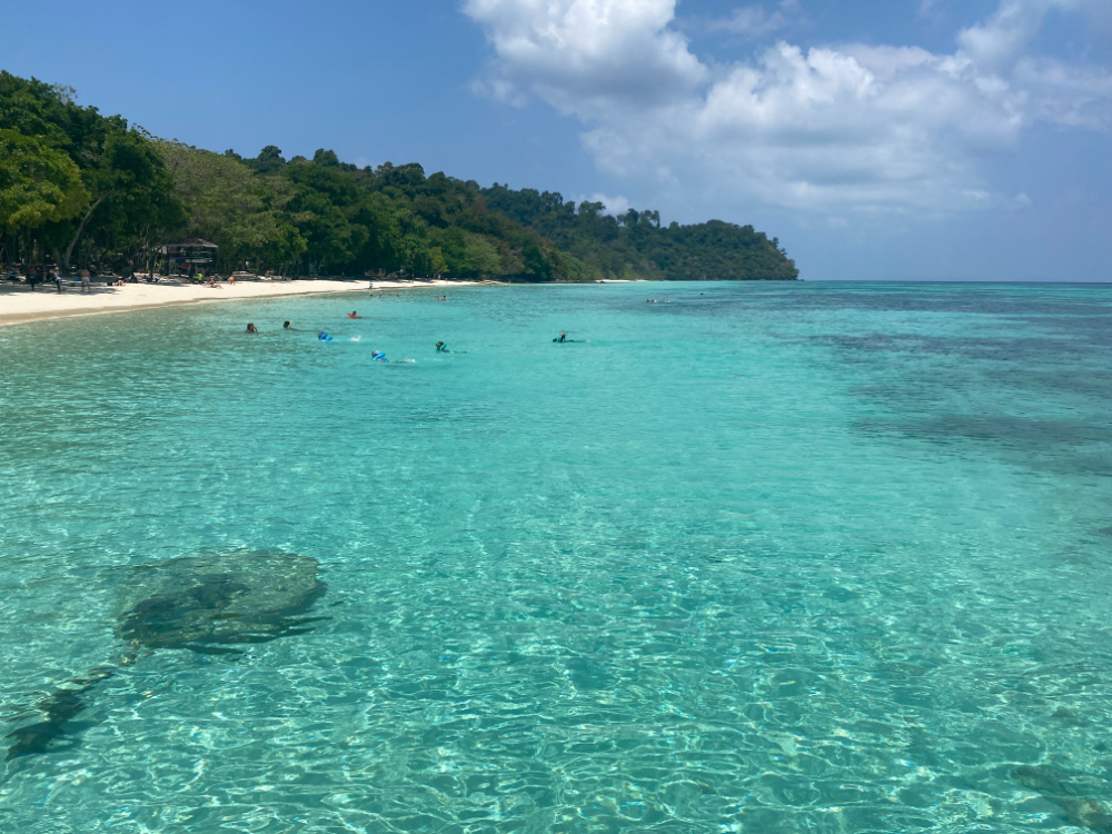
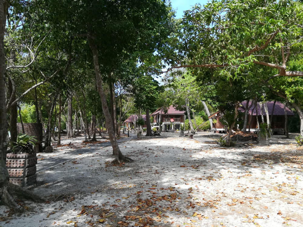
This island is ideal for snorkeling. One of the best places for this sport. If you like to dive into the underwater world, go straight to Ko Rock. A beautiful coral reef awaits you underwater. On the island you can stay overnight. There are several small hotels here.

13 km. from the ferry pier
Address: Ko Lanta Yai, Ko Lanta District, Krabi 81150, Таиланд
Coordinates: 7.540308020320192, 99.0681378064552
Prices: 400 THB

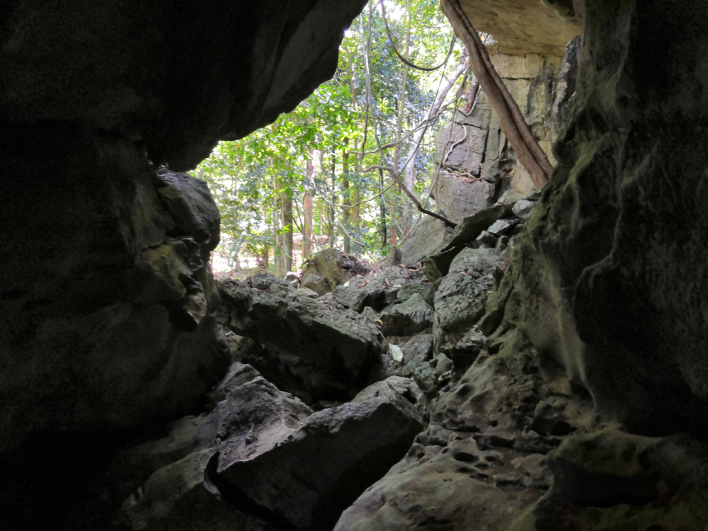
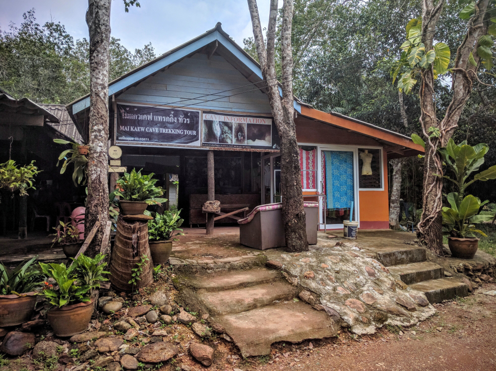
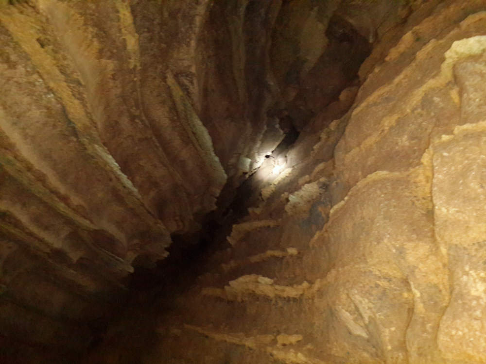
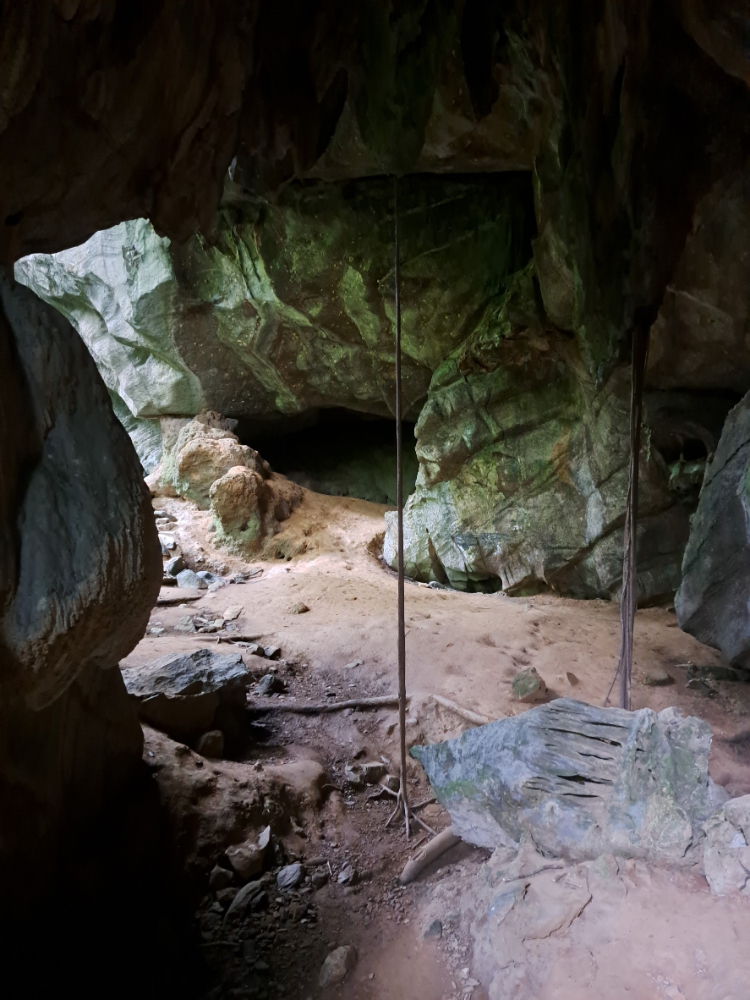
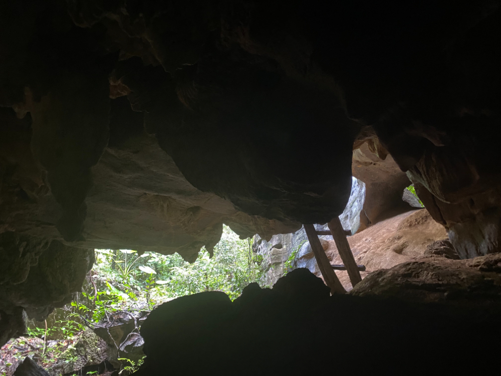
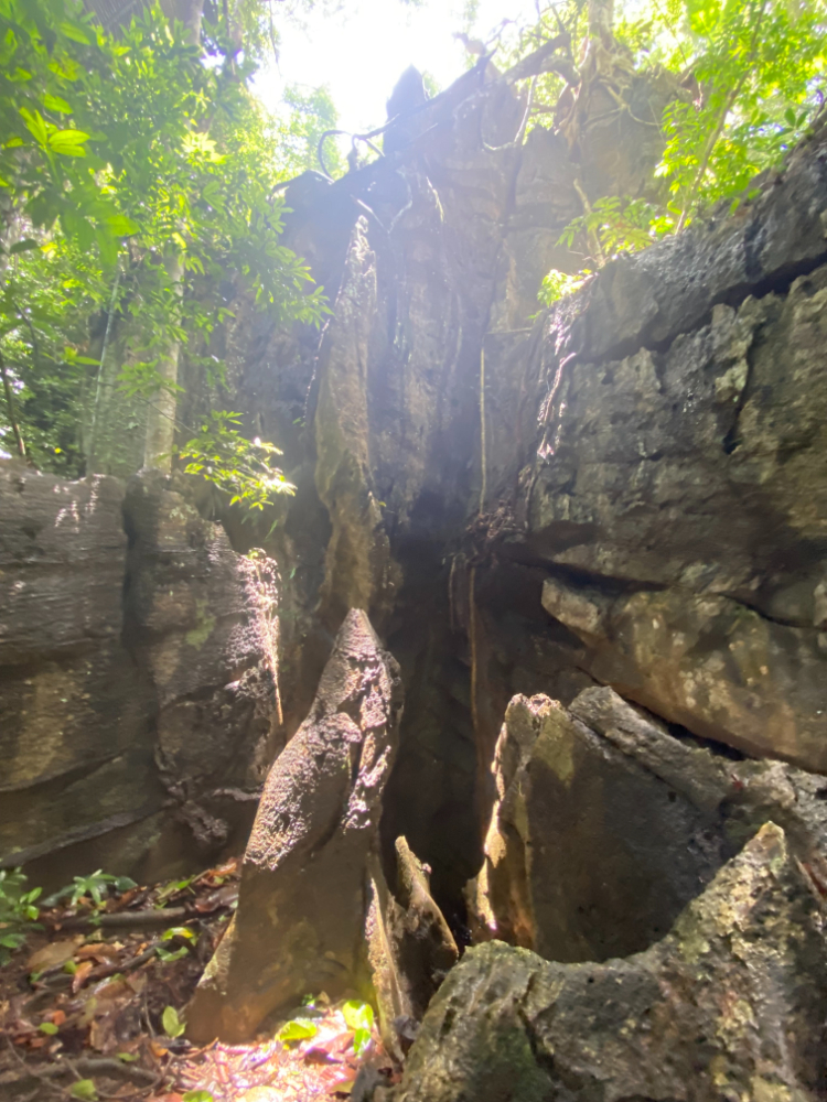
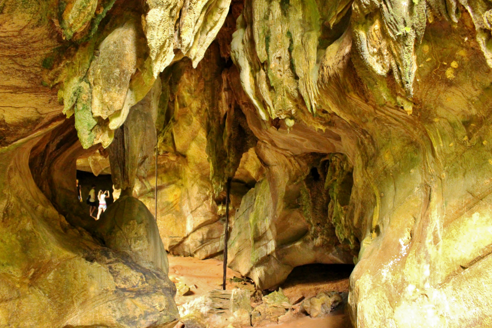
If you plan to visit Mai Keo Cave, be prepared for physical exertion. This type of vacation will clearly not appeal to non-sporty tourists and children. To get into the cave, you have to overcome a lot of obstacles: stairs, descents, ascents, cable cars. The way will be a little scary and dangerous. There is no insurance here, it is very slippery around. Be extremely careful during this walk. For the cave tour, it is better to wear something simple.

0.2 km. from the ferry pier
Address: Koh Lanta, Sala Dan, Ko Lanta District, Krabi 81150, Таиланд
Coordinates: 7.645576648446013, 99.0455190040858
Prices: Free

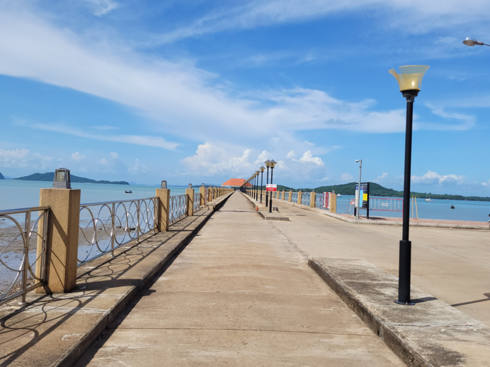
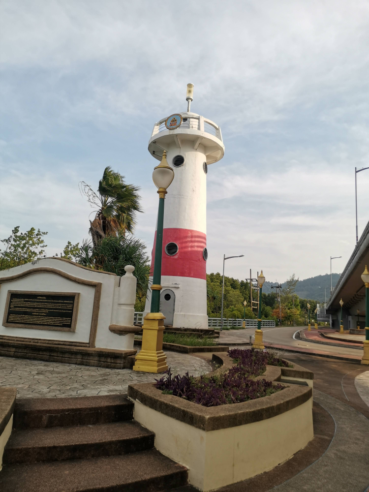
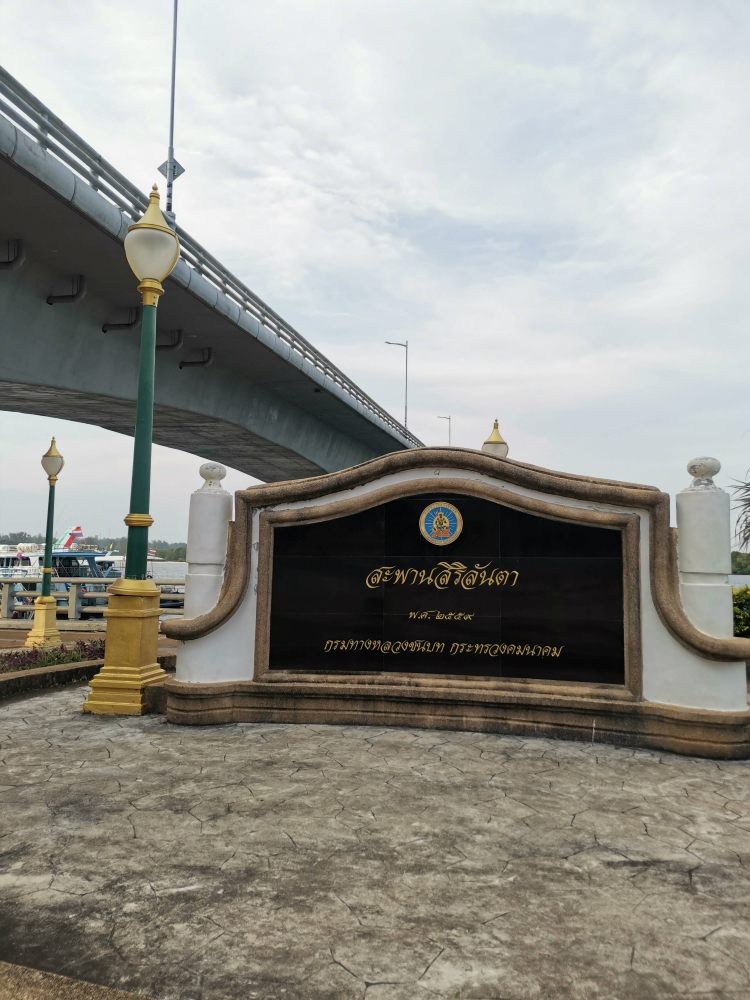
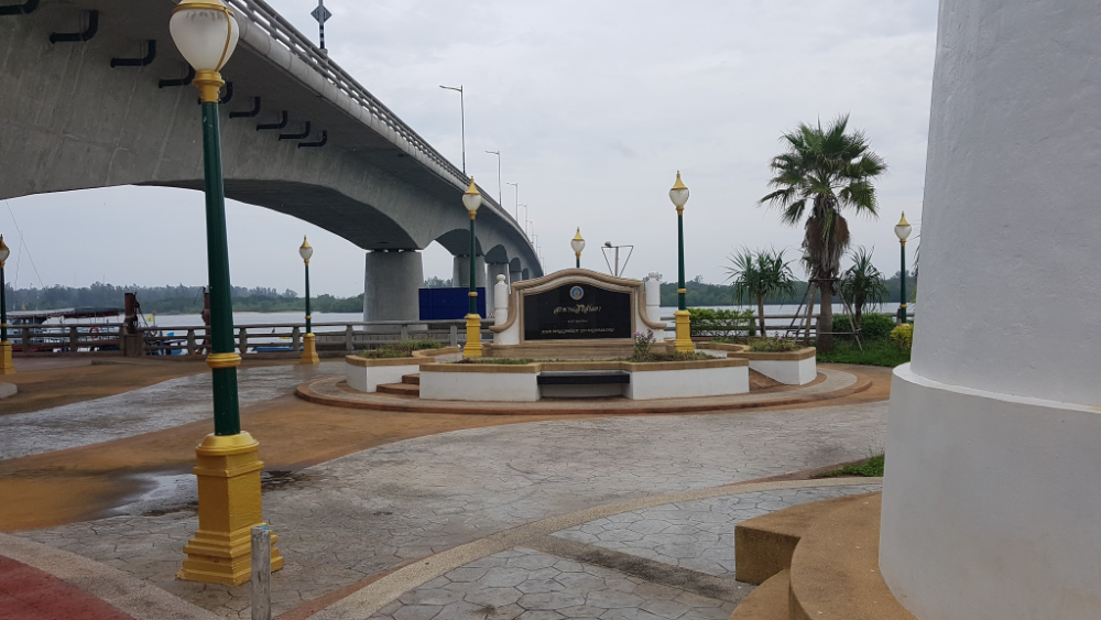
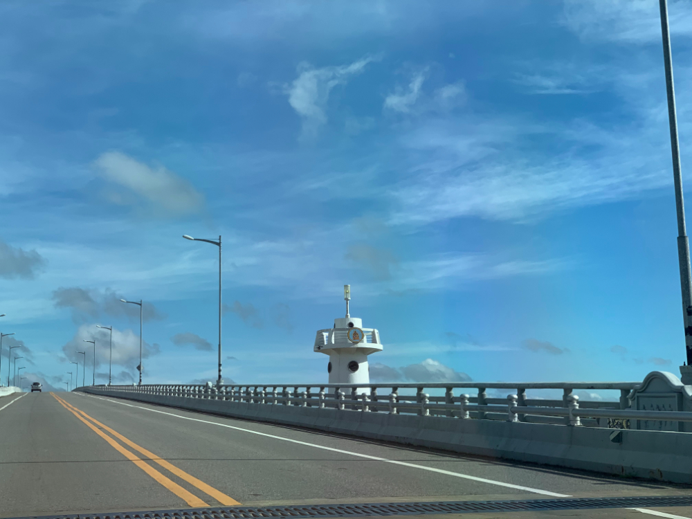
The second lighthouse on the island. It is located on the shore near the bridge that connects Lanta Yai and Lanta Noi. There are very few tourists here. Not many people know about this place.

The lighthouse is usually called "old", but at the same time it looks much better than the other. It is very beautiful here. Moreover, the lighthouse itself is beautifully painted, and at night it performs its main function - it glows. 

18 km. from the ferry pier
Address: Ko Lanta Yai, Ko Lanta District, Krabi 81150, Таиланд
Coordinates: 7.5000730736682115, 99.09367130396907

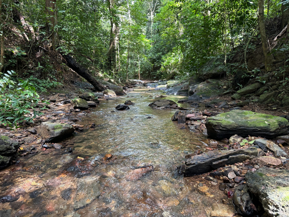
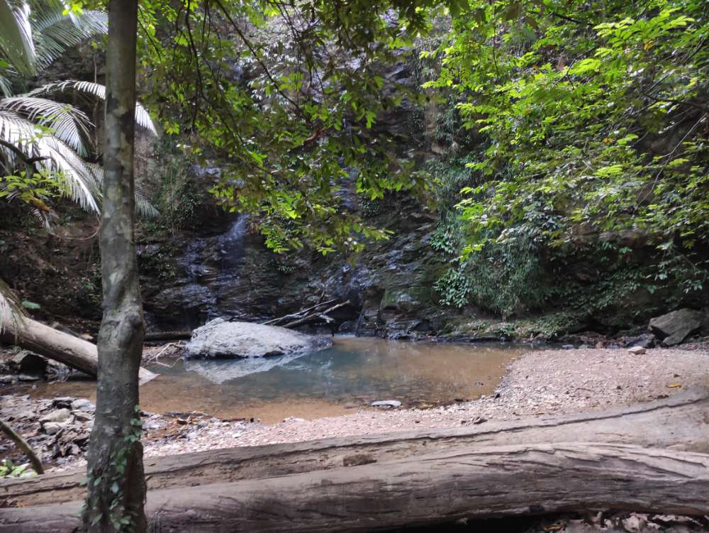
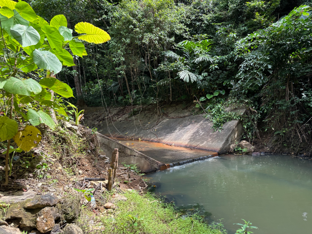
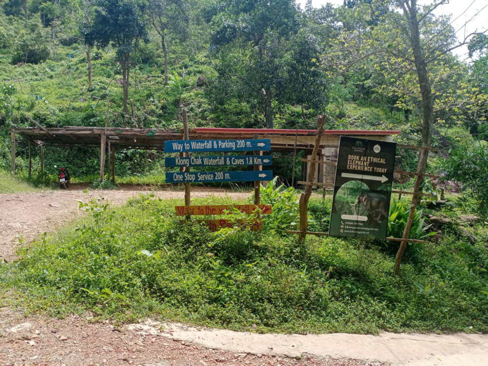
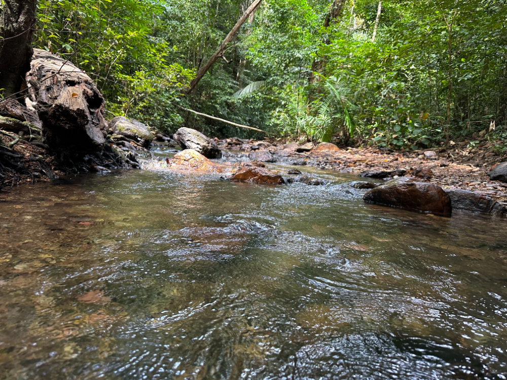
Находится он глубоко в джунглях. На самом деле это небольшой ручеёк, который превращается в водопад только в период сильных дождей. В жару вы сможете увидеть лишь маленькую струйку воды и огромную каменную стену. Летом водопад сильно пересыхает.

Вы сможете спокойно прогуляться по джунглям и насладиться красотой дикой природы. Желательно надеть удобную обувь, потому что прогулка будет долгой. Лучше приходить сюда с самого утра. Ближе к обеду тут появляется много туристов. На прогулку можно потратить 1-2 часа.

14 km. from the ferry pier
Address: Ko Lanta Yai, Amphoe Ko Lanta, Chang Wat Krabi 81150 Таиланд
Coordinates: 7.524889107017888, 99.06576930478295
Prices: Starting from 350 Baht

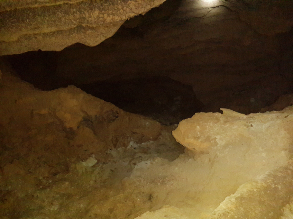
If you are afraid of confined spaces and do not like spiders, it is better to postpone a visit to the Tiger Cave. It is located in the middle of the jungle. The entrance to the cave is perfectly camouflaged, so not everyone can get here. It is desirable to book a tour so that you do not get lost. It is best to go here in the first half of the day.

The cost of the excursion will be about 350 baht. For 100 baht you will be allowed to explore the cave on your own. Wear a sweatshirt to stay warm and comfortable shoes. Sneakers for hiking are best. It is very slippery inside the cave. It is also worth taking a bottle of water with you.

18 km. from the ferry pier
Address: Ko Lanta Yai, Ko Lanta District, Krabi 81150, Таиланд
Coordinates: 7.4987763183559535, 99.09062323908742

It is located near the Klong Chak waterfall. The cave itself is relatively small. Locals believe that there is nothing interesting in it. If you do decide to visit Chak Bat, it is better to go here in the morning - about 7-8 hours. After 10, tourists start coming here. By lunchtime they can become very many.

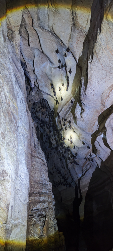
Mostly tourists like the road to the cave. During the walk you can admire the beauty of wildlife. In the cave itself, you can see bats. The entrance is free of charge. You can spend about an hour to visit the cave.

7 km. from the ferry pier
Address: Ko Lanta District, Krabi 81150, Таиланд
Coordinates: 7.5951740281643065, 99.07173023404961

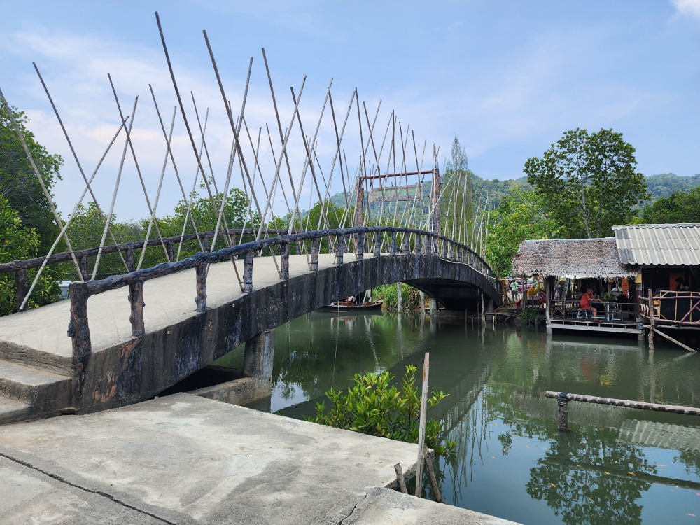
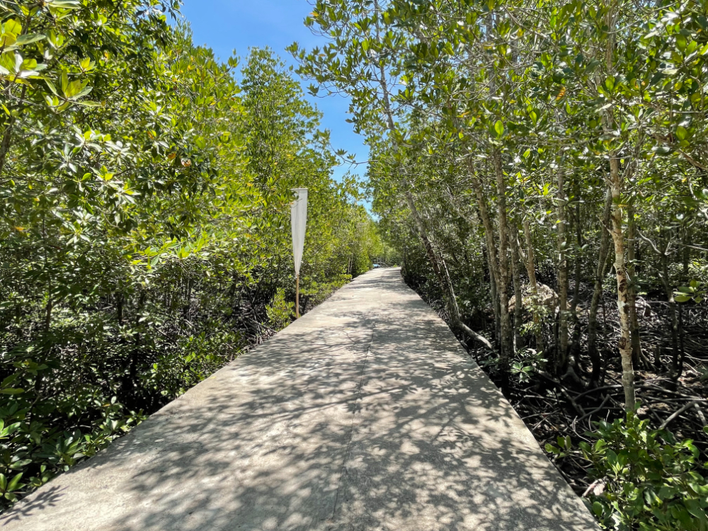
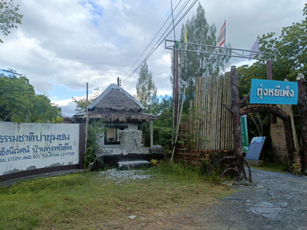
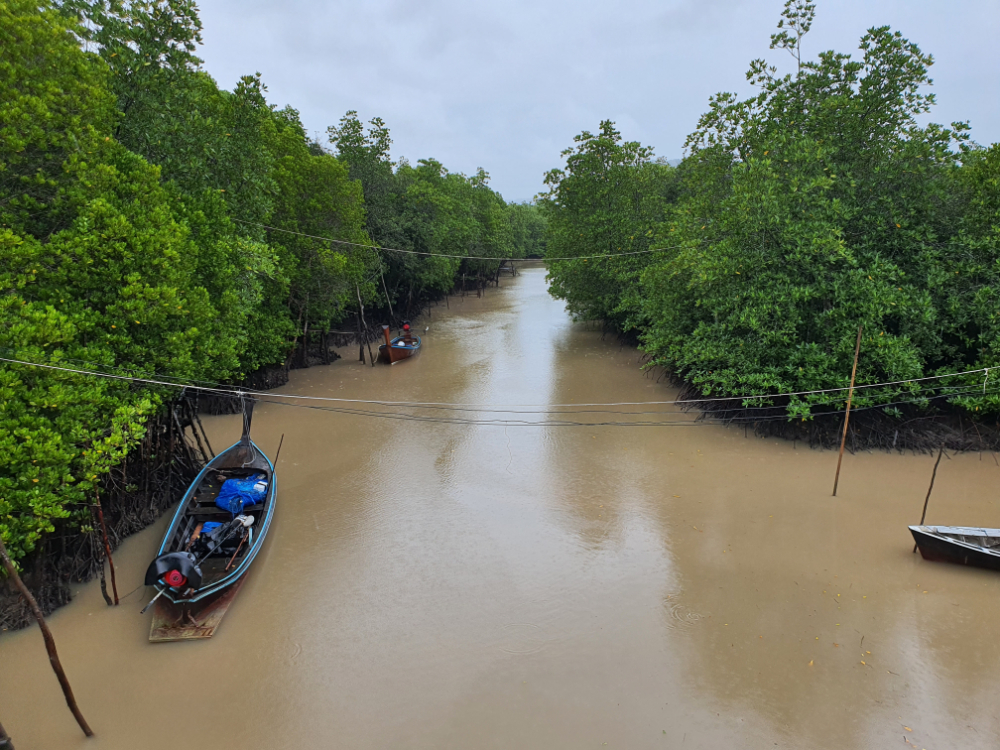
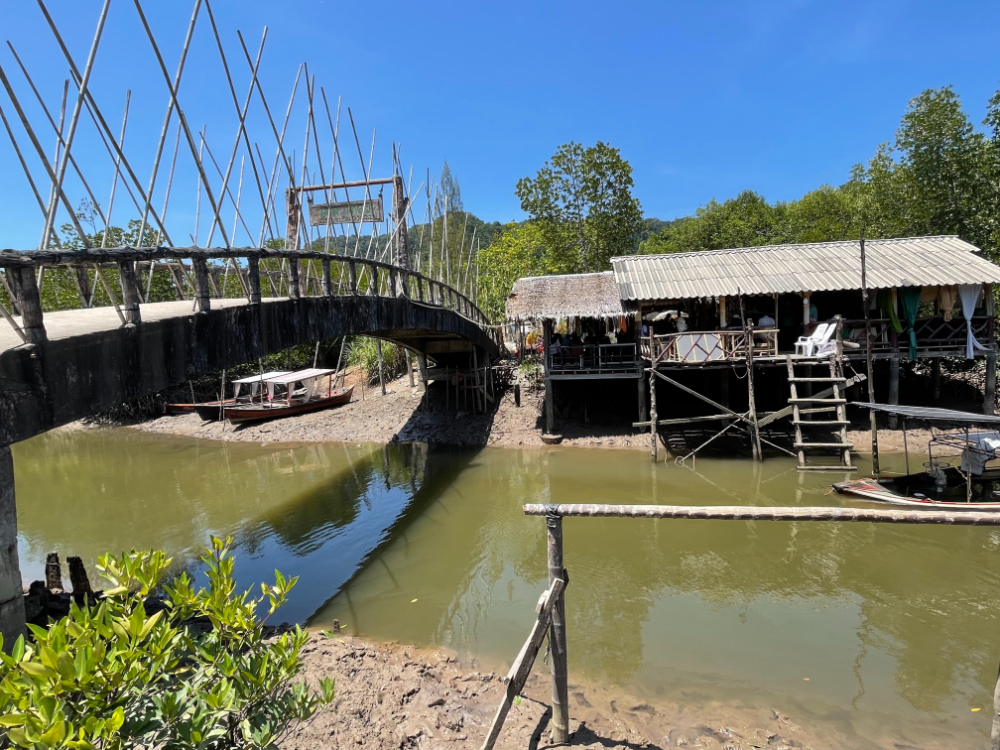
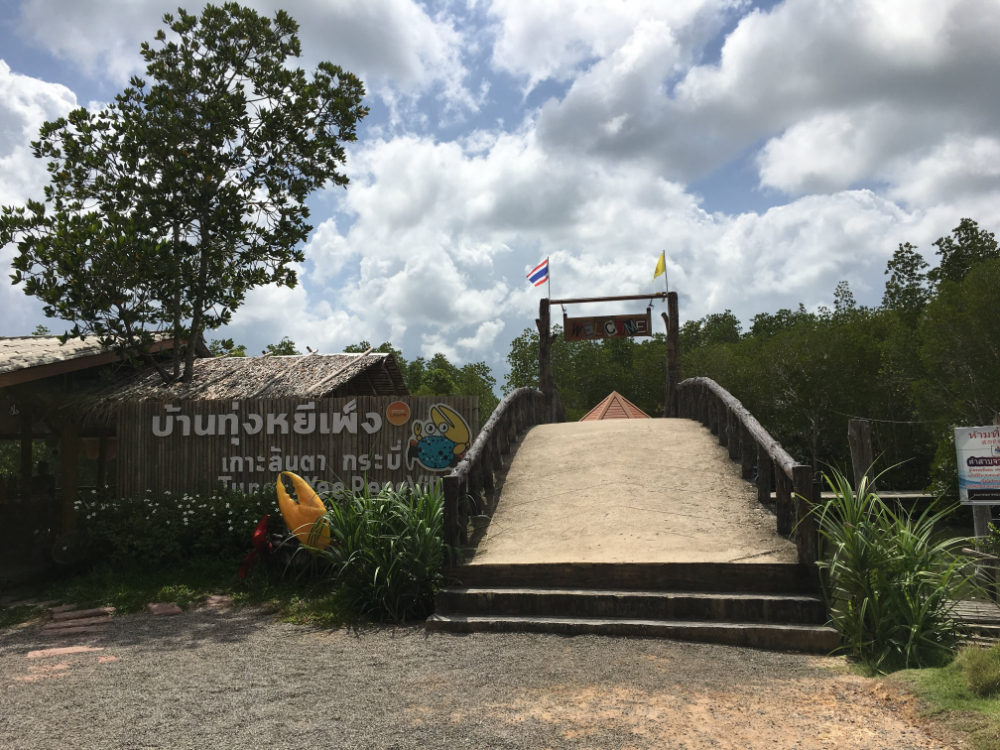
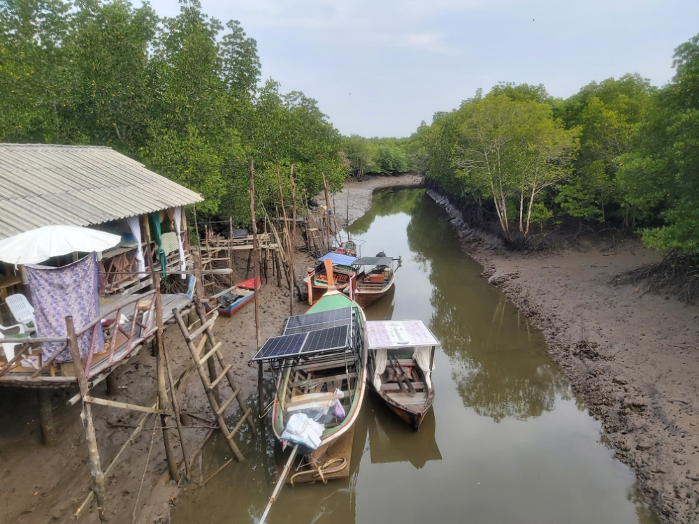
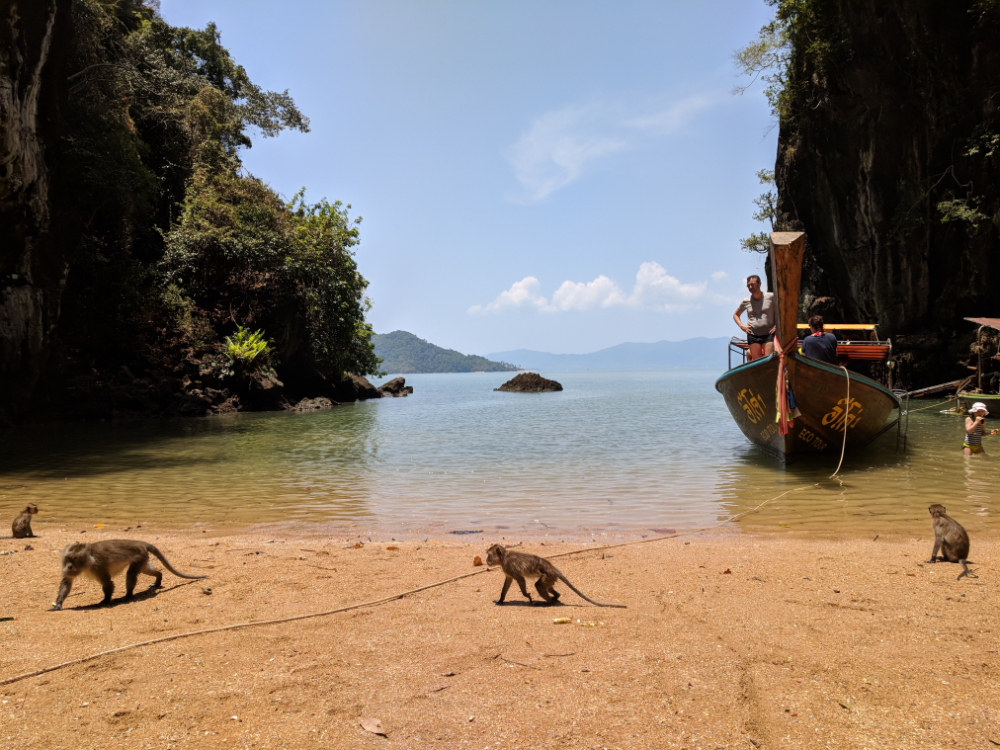
Here, you can explore the mangroves and walk along the concrete path. Moreover, tourists are offered water tours on longtails. This is a very unusual and fascinating trip, which for some reason not everyone books. You will float on the river and observe the life of birds and animals. A great opportunity to see wild monkeys that love to interact with tourists.

The entrance to the mangrove forest itself is free. If you want to ride a longtail, however, you will need to pay a minimum of 1200 baht.

13 km. from the ferry pier
Address: Ko Lanta Noi, Краби, Таиланд
Coordinates: 7.612823382598098, 99.14978974208363

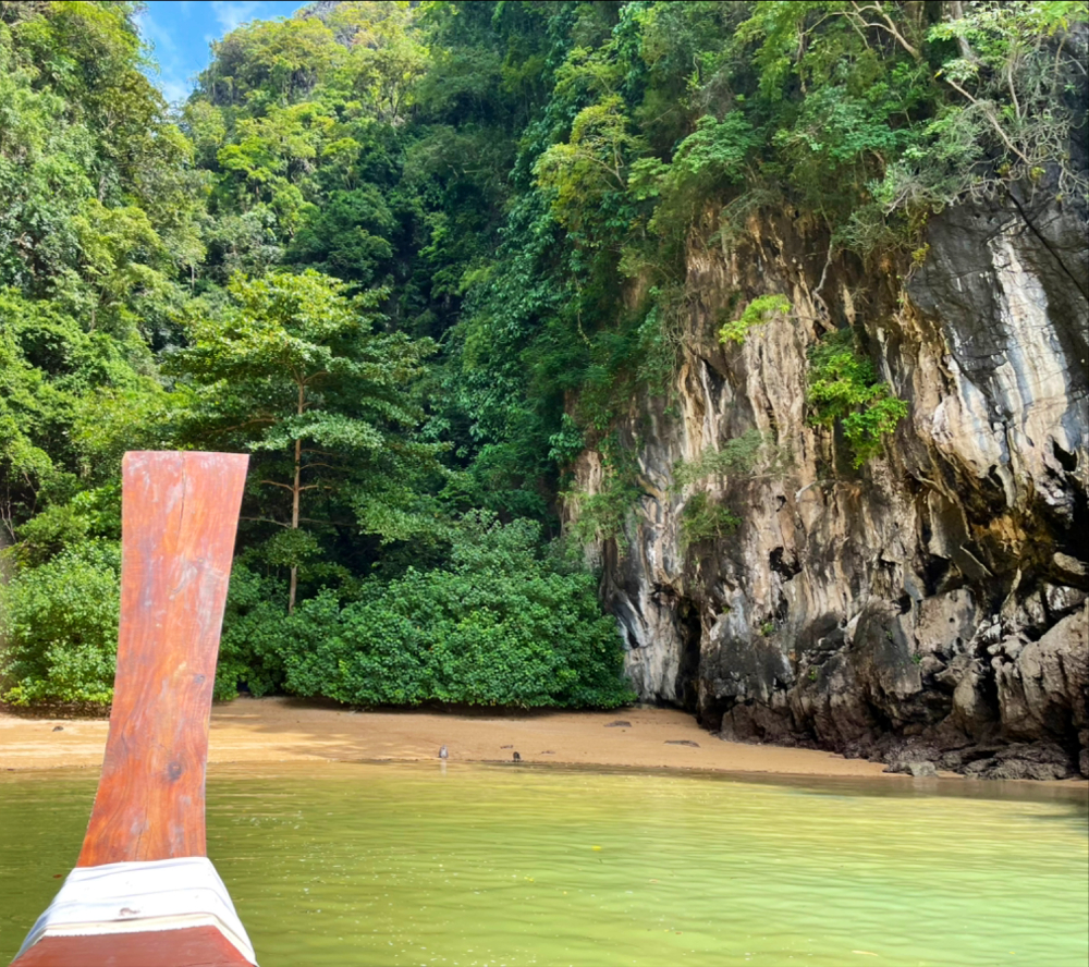
Ko Talabeng is a satellite of Lanta. It is located to the east of the island of Lanta Noi. The island is located opposite the Thai village of Ban Lo Yai. If you decide to go to Ko Talabeng, be sure to visit the large underwater cave. It really is just huge! You can only get here by boat.

The height of the vaults reaches thirty meters. This cave will surprise you the most, so it is better to go here at the end of your trip. If you come earlier, you will not enjoy much of the local attractions. The island itself is usually explored on kayaks, which tourists are provided by a travel agency.
1 km. from the ferry pier
Address: Ko Lanta District, Krabi 81150, Таиланд
Coordinates: 7.647036991690034, 99.01995492974235

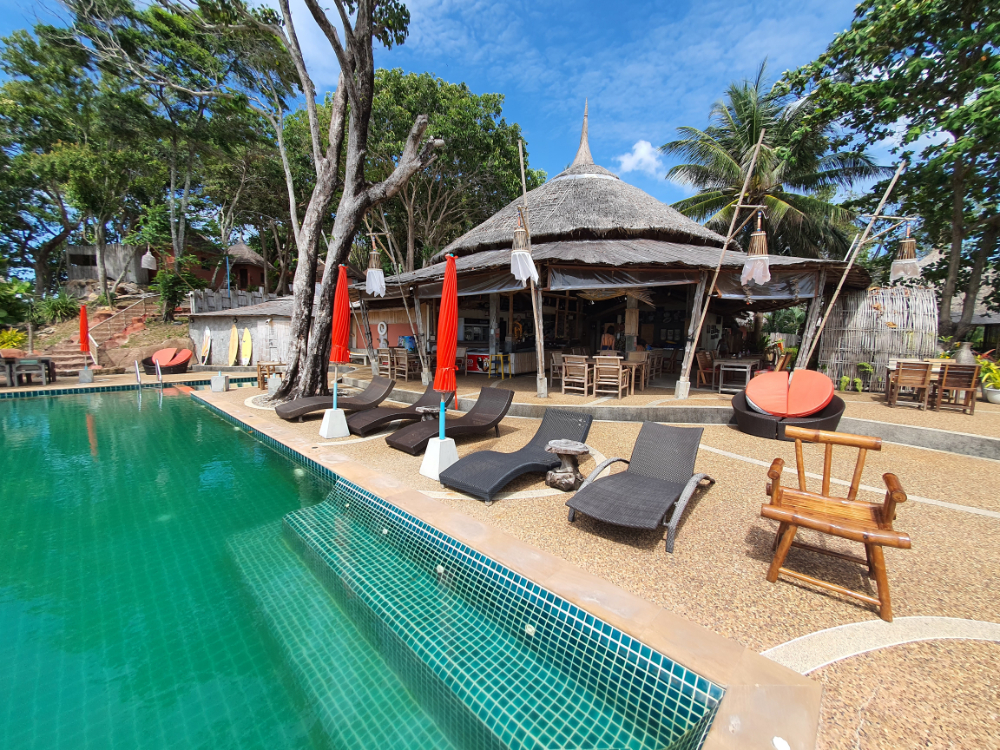
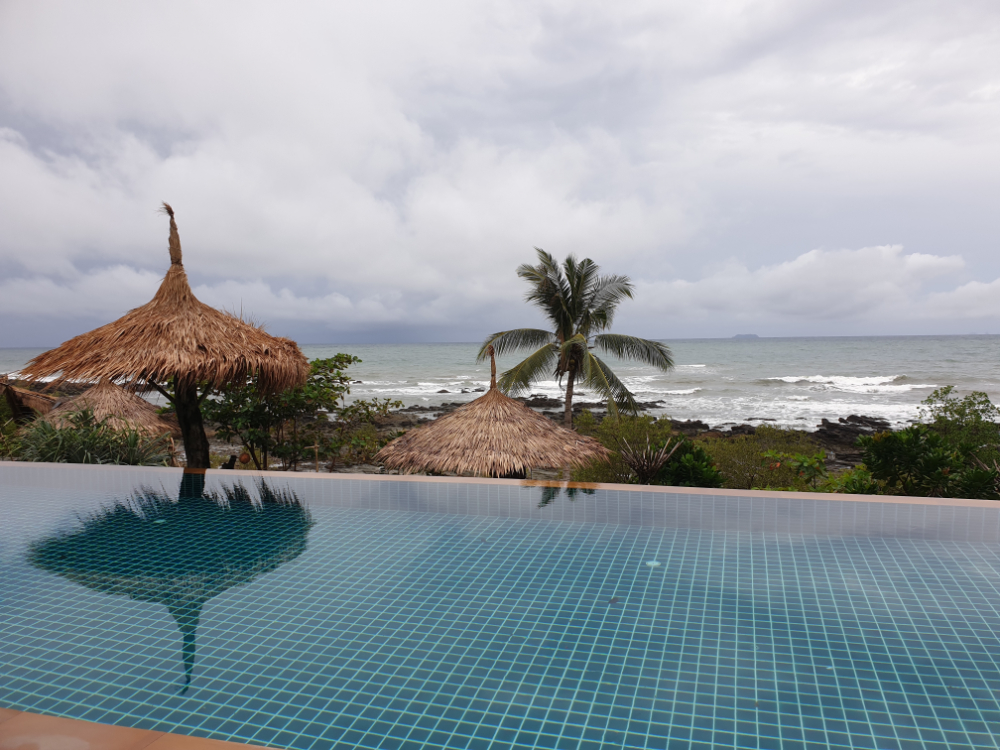
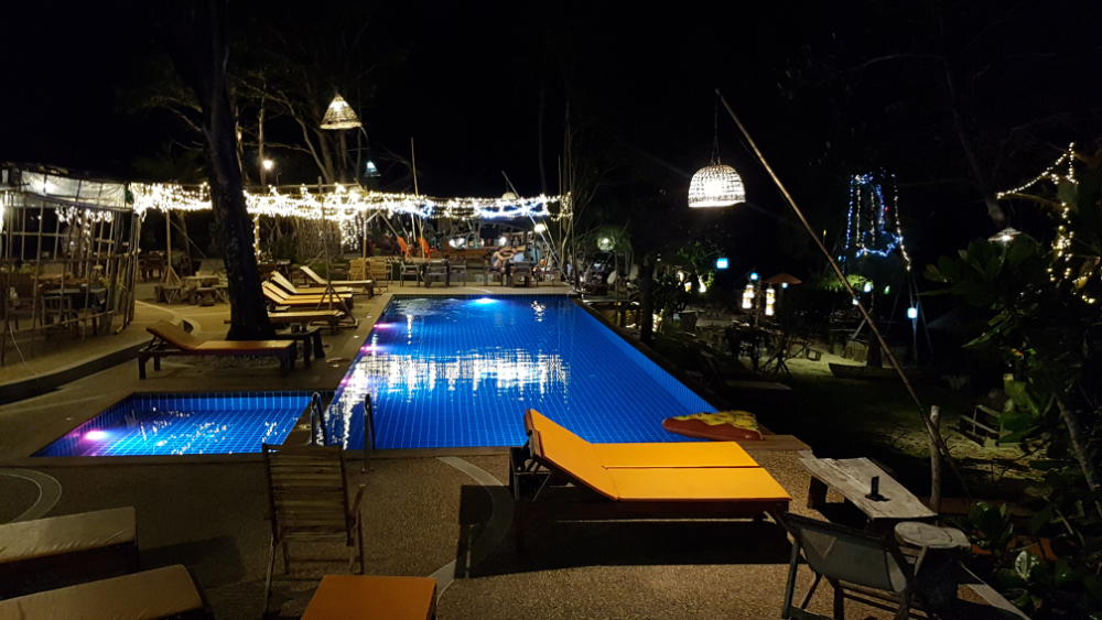
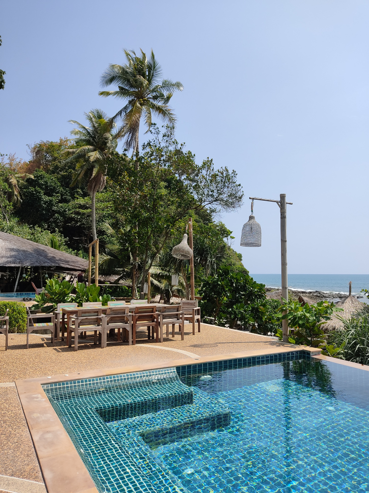
This is a very interesting and atmospheric place. The main feature of the institution is the infinity pool, in which you can swim. In the bar you can definitely have a good rest and relax. Moreover, it is a great place for cool photos.

The bar itself is furnished quite simply. It has three floors. At the bottom there is a beach and a swimming pool. It is better not to swim in the sea. European music plays in the bar. In the menu there are familiar drinks and local dishes. Most tourists leave positive reviews about the bar.
Phuket attractions map