Main » Resorts » Ко Чанг » Достопримечательности Ко Чанга

Достопримечательности Ко Чанга

20 km. from the ferry pier
Address: Koh Chang Tai, Ko Chang District, Trat 23170, Таиланд
Coordinates: 11.971400168155373, 102.31224797354854

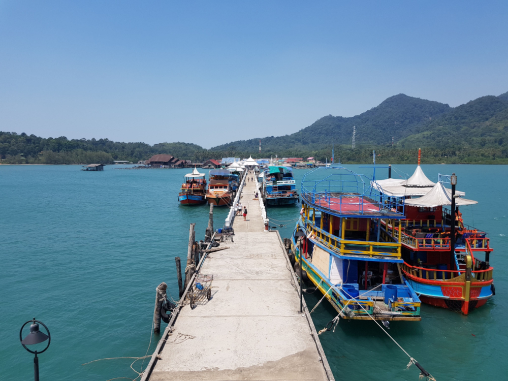
This is the most favorite place of tourists who come to the southern islands of Thailand. You can say Bang Bao is the starting point for further excursions.

1 km. from the ferry pier
Address: Ko Chang, Ko Chang District, Trat 23170, Таиланд
Coordinates: 12.140565021701335, 102.2758995526029

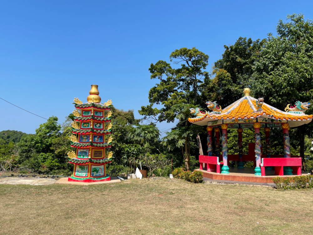
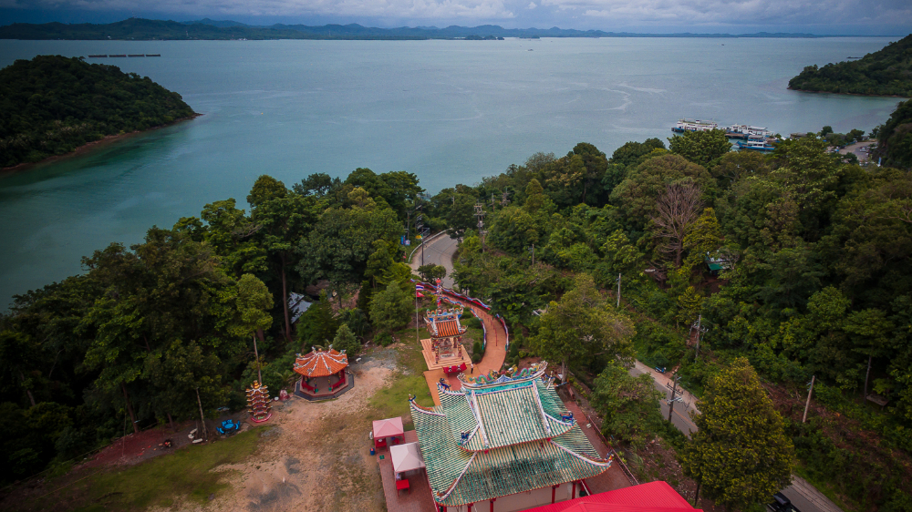
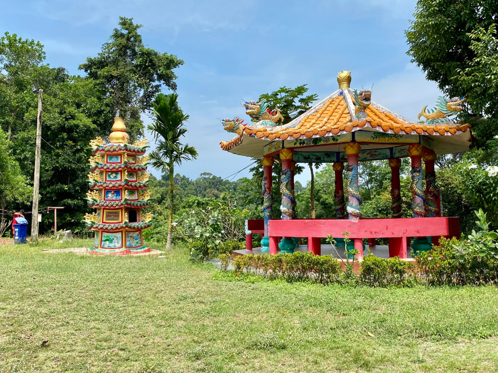
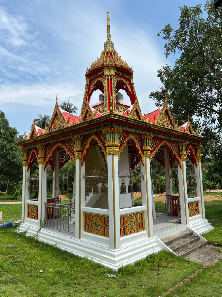
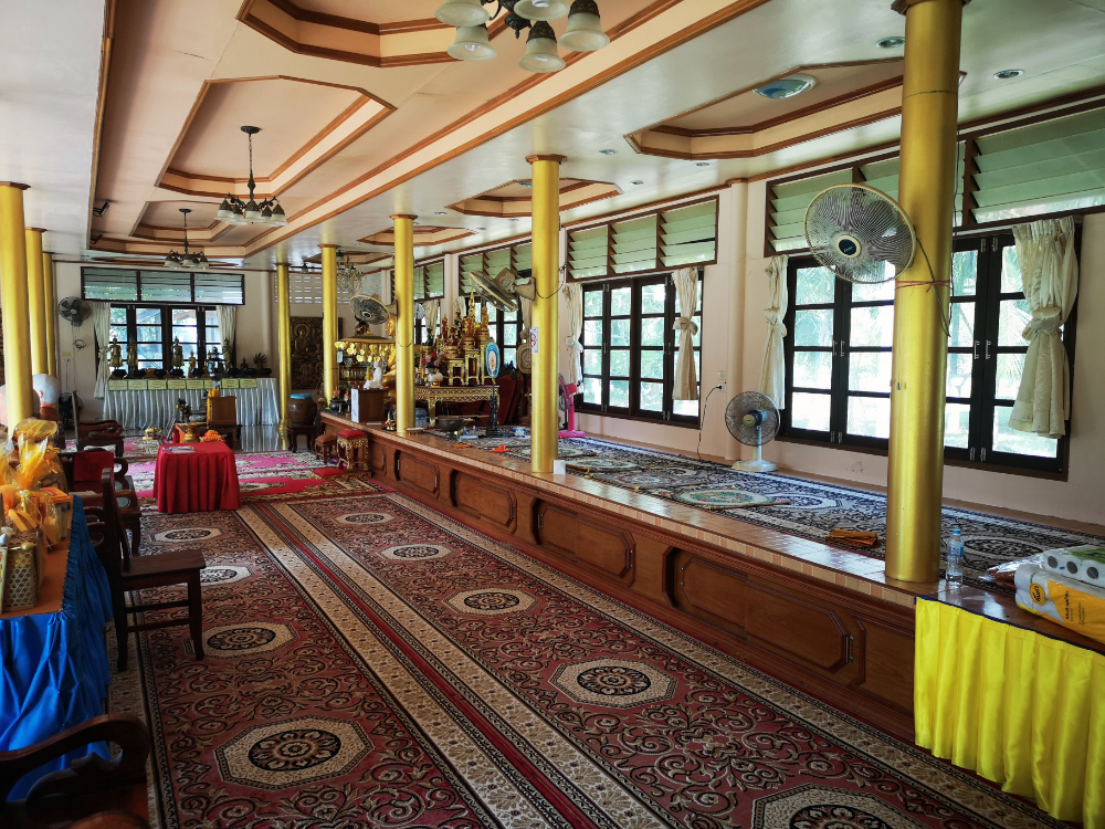
It was built in honor of a monk who loved to wander. It is his spirit that is considered the benefactor of Koh Chang. In Thai, the name of the temple translates to "great father". The locals believe that this is a holy place. They are confident that it will help them to create a real miracle.

13 km. from the ferry pier
Address: Anuson Sathan, Laem Ngop, Laem Ngop District, Trat 23120, Таиланд
Coordinates: 12.178537936337026, 102.38902416131157

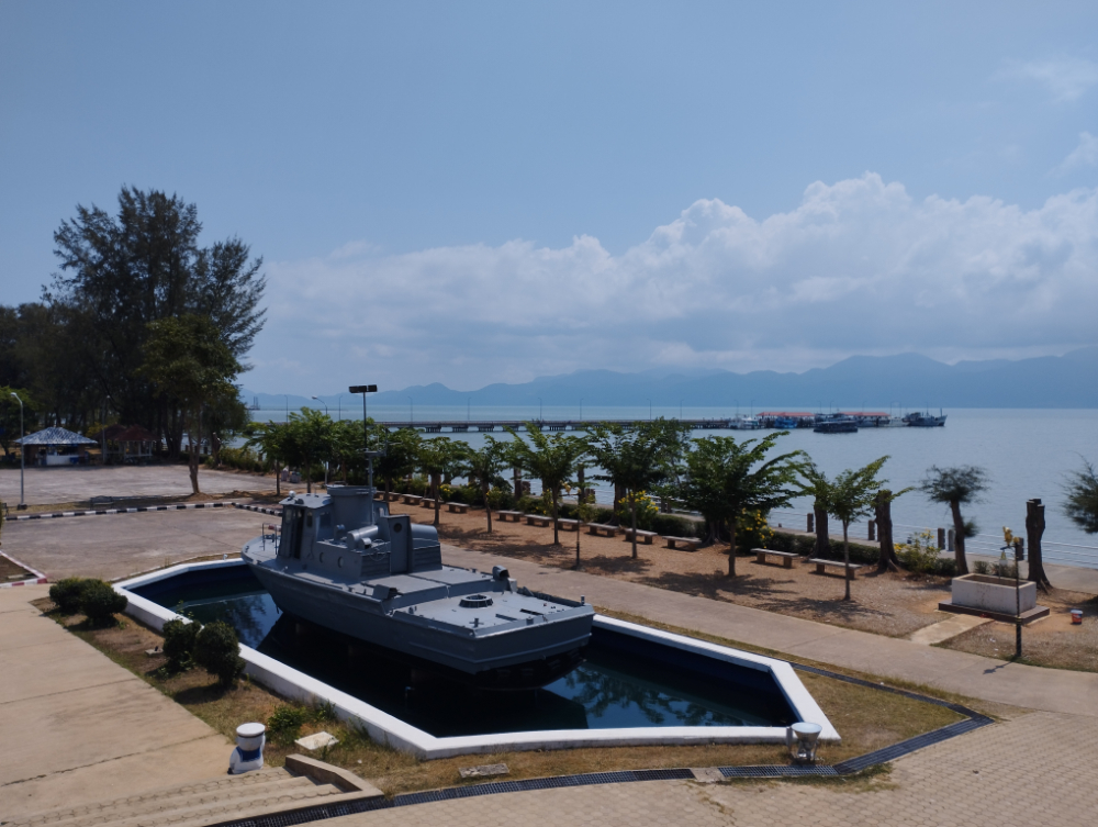
Every local knows about this place. It was here near Salak Pat Bay that the battle between the naval forces of France and Thailand took place.

9 km. from the ferry pier
Address: Ko Chang, Ko Chang District, Trat 23170, Таиланд
Coordinates: 12.06474122029469, 102.31277221867255

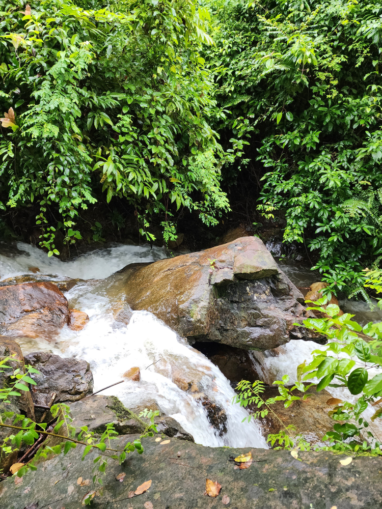
This is the most visited waterfall in Mu Ko Chang National Park. Not only tourists come to it, but also the Thais themselves. It is located near the beaches of Klong Prao and White Sand. In addition, the park itself is quite compact. You can walk around it in just 10-15 minutes. It is best to walk along the forest path.

17 km. from the ferry pier
Address: Koh Chang Tai, Ko Chang District, Trat 23170, Таиланд
Coordinates: 12.008138342483408, 102.35063850029275

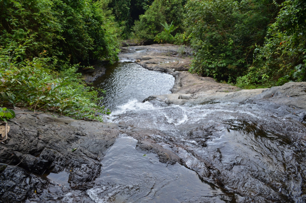
To see the waterfall, you need to go to the southern part of Koh Chang. From Salak Pet should walk or drive a few kilometers, and you will find yourself near the waterfall. Its height is about five meters. The size of the waterfall depends on the season. During heavy rains, it seems to be large, you can say, two-level. In hot weather, the waterfall becomes smaller.

17 km. from the ferry pier
Address: Koh Chang Tai, Ko Chang District, Trat 23170, Таиланд
Coordinates: 12.01350535904948, 102.35800393588164

It is also located near Salak Pet Bay, which is a neighbor of Kiri Pet Waterfall. It takes about 3.5 kilometers to get from one to the other. Klong Nung Waterfall is considered to be the highest waterfall on the island.

You can come here to relax or swim. The water is very refreshing after a long walk. If you want to climb to the top, you need to climb up a large boulder. From the top you can watch the water fall.

18 km. from the ferry pier
Address: Koh Chang Tai, Ko Chang District, Trat 23170, Таиланд
Coordinates: 12.004829353418149, 102.37199682378657

Previously, the island of Koh Chang was not very popular among tourists. At Ban Salak Pet Village, you can learn more about the time when it was mostly inhabited by locals. It is located in the southeastern part of the island.

3 km. from the ferry pier
Address: Ko Chang District, Trat 23170, Таиланд
Coordinates: 12.124661478164672, 102.26925015525809

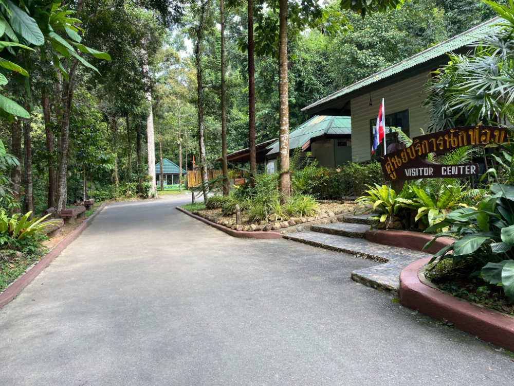
The park occupies almost the entire center of the island. The area is protected, but there are no strict controls. To see some of the park's waterfalls, you need to buy a ticket. The main building of the park is located in the eastern part of the island.

It is forbidden to sunbathe in the nude on the territory. Moreover, these rules also apply to the beaches of Ko Chang, Ko Kut, Ko Mak and Ko Wai.

18 km. from the ferry pier
Address: Koh Chang Tai, Ko Chang District, Trat 23170, Таиланд
Coordinates: 12.02357122616254, 102.39213473585554

Here you will see huge thickets of mango trees. All this beauty is protected by local fishermen. Thais are very aware of how ecologically important these forests are. These trees are perfect habitats for birds and crustacean species. Moreover, mango is one of the most popular exotic fruits in Thailand. It is sold at almost every corner. 

Now Ao Salak Kok is an ideal place for ecotourism on the island, even one of the best. Also, the local Thais are good at protecting the environment.

9 km. from the ferry pier
Address: Ko Chang, Ko Chang District, Trat 23170, Таиланд
Coordinates: 12.06079647675902, 102.28800717401103

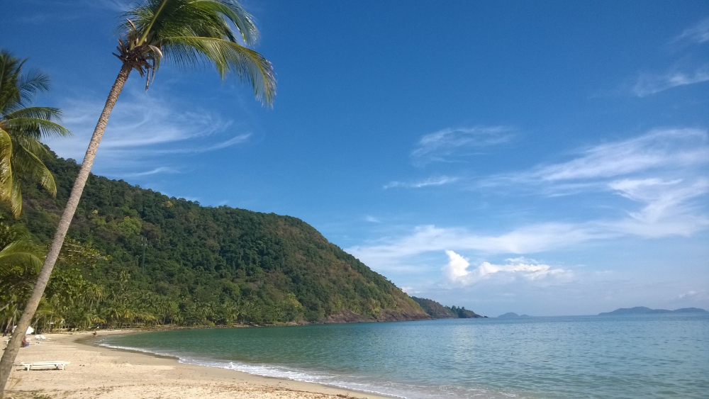
The local beach is an arc-shaped strip of sand. It is located between mountain capes. At low tide, various creatures of the underwater world can be found on the shore. They are simply thrown ashore and become unprotected by the receding water.

There are several luxury resorts near the beach. Mostly tourists relax by the pool rather than on the beach. At high tide, most of the shore simply floods.

12 km. from the ferry pier
Address: Ko Chang, Ko Chang District, Trat 23170, Таиланд
Coordinates: 12.076444858038371, 102.36736296807506

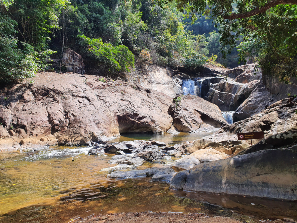
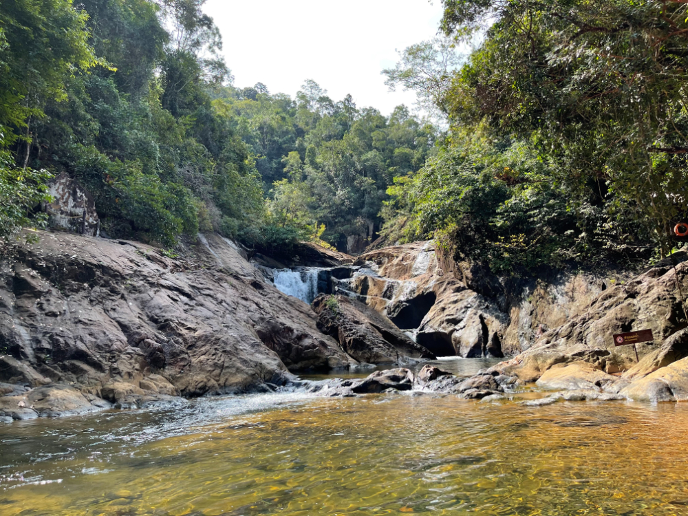
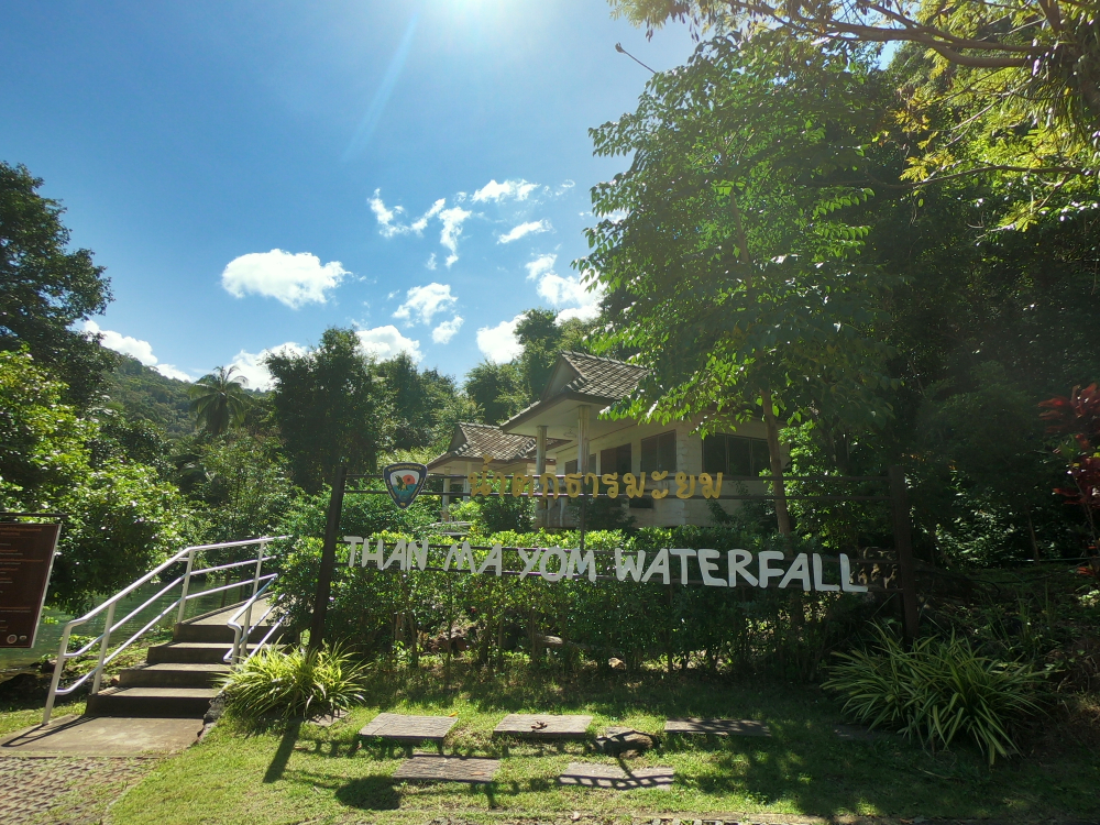
This complex consists of three waterfalls. They are located by the Klong Mayom River. To get closer to the waterfalls, you have to pass through the main building of the park. It is located next to Nam Tha Tan Mayom.

On the upper platform you can find huge stones with inscriptions. There are the names of Rama V, Rama VI and Rama VII. Also, tourists enjoy the beauty of the magnificent panorama after climbing to the top.

18 km. from the ferry pier
Address: Koh Chang Tai, Ko Chang District, Trat 23170, Таиланд
Coordinates: 11.986564398430774, 102.29843509680327

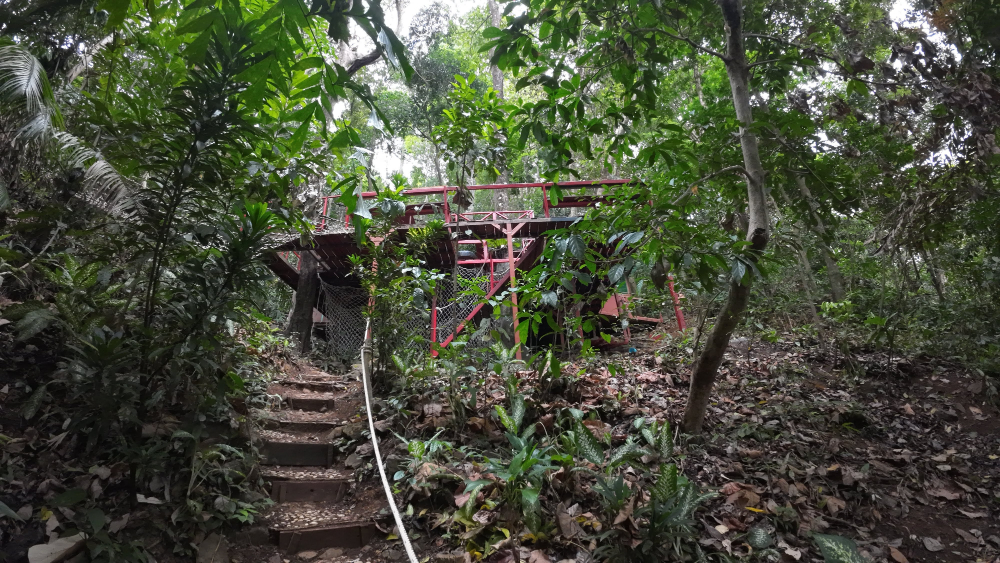
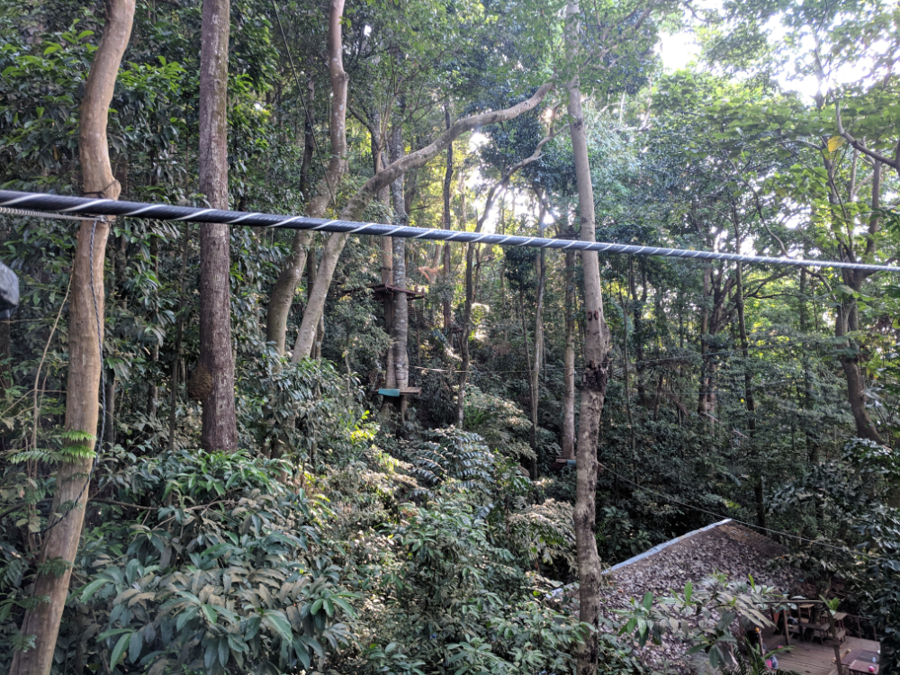
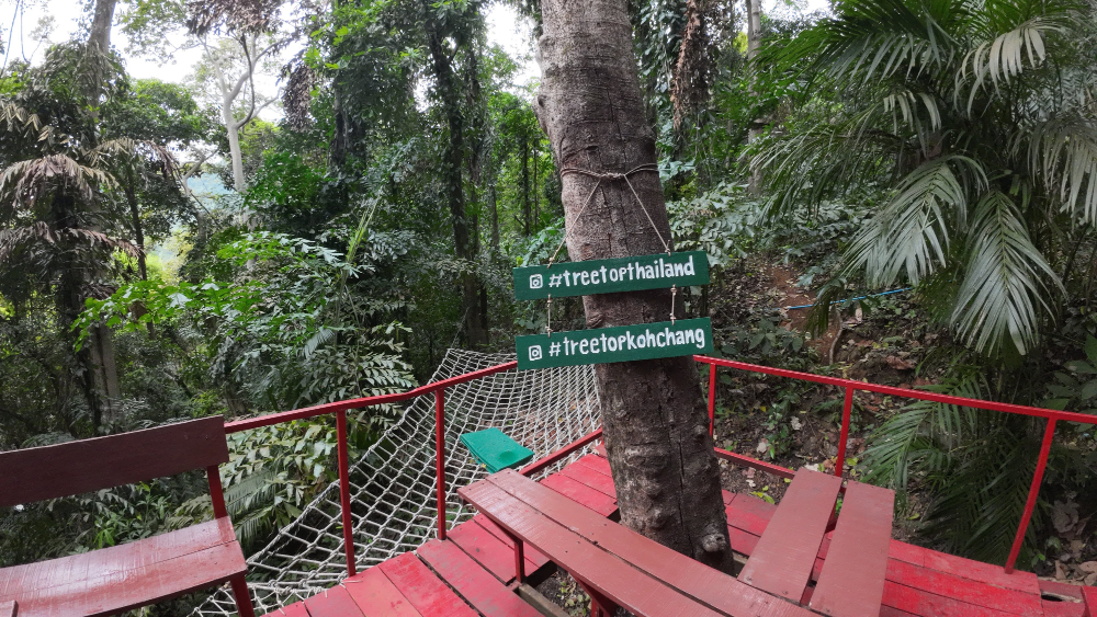
Tourists of the island are offered several vacation options. The choice is indeed very large. This adventure park will give you unforgettable emotions. You can find yourself in one of the tropical forests of the island.
All possible rope attractions are waiting for you: cable cars and bridges, trails, bungee cords and even tropical mountains! Fans of extreme sports should definitely try to walk along the rope between the trees. The park staff pay special attention to safety. During the passage of ropeways visitors are accompanied by trained staff.

Phuket attractions map